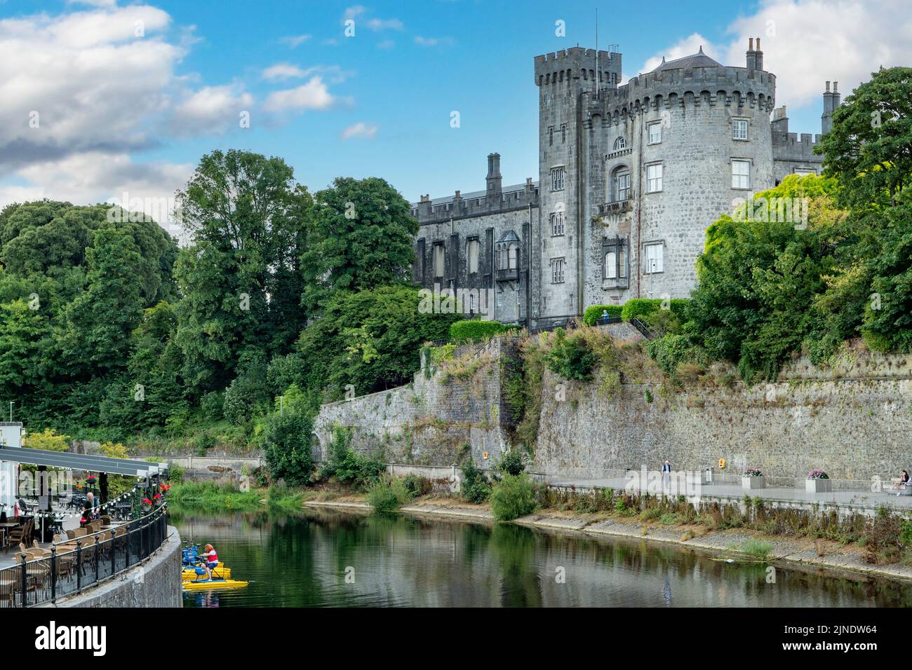
What is recorded here
A little below the crest (W side) of a small hillock, on the W side, in rolling reclaimed grassland. There are fair views in all directions, with a small stream valley to the S and SW. The N portion and E side of a large enclosure (dims. c. 94m N-S; c. 48m E-W) are depicted on the 1900 revision of the OS 6-inch map. On the ground (dims. 80m N-S; 20m E-W) these surviving parts of a larger enclosure are defined on the E side by a bank (Wth 2m; int. H c. 0.5m), infilled fosse or berm (Wth c. 2.5m), outer bank (Wth 4m; H c. 1.5m) and probable outer fosse suggested by an outer band of soft and wet ground. On the N side only the inner bank survives. The bank is composed of course sand and gravel and is heavily overgrown with scrub. There is an entrance (Wth 5m) mid-way along the E side. N side consists of 20m length of inner bank. The S and W sides are not visible at ground level.
Compiled by: Jean Farrelly
Date of upload: 12 June 2019
A local fairy fort (ringfort/rath); wider significance not recorded.
The monument record does not grant public access. Check the route and ask the landowner before entering private land.
- What survives
- Recorded monument
Places near here
 Enclosure in GarnagaleEnclosure · 242 yd
 Enclosure in RathclevinEnclosure · 492 yd
 CastleCastle, tower house · 759 yd
 Lisduff Bridgebridge · 1147 yd
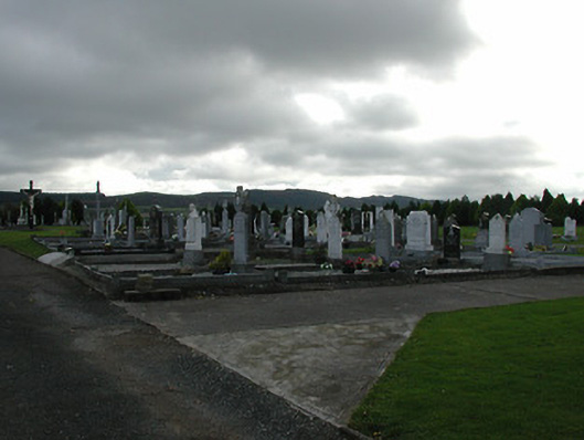 Saint Patrick's Catholic Churchgraveyard/cemetery · 1176 yd
 Kildrinagh WoodForest · 1.3 mi
 Four Acre WoodForest · 1.7 mi
 Killahy Castle in ruinsCastle, unclassified · 1.8 mi
 Clomantagh HillMountain / peak · 3.5 mi
 Bregaun HillMountain / peak · 4.0 mi
 John HelyMemorial · 4.2 mi
 DelaneyMemorial · 4.4 mi
Other information
Photo: Credit not shown in the picture search · Rights wording not checked; contact us if this picture should be removed