What is recorded here
In 2003, prior to construction of the M7 Heath-Mayfield Motorway, the site, previously identified during centre-line testing (Excavation licence No. 03E0127), was archaeologically excavated (Excavation Licence No. 03E0635 www.excavations.ie Accessed 28 August 2012) revealing the remains of a possible post-medieval enclosed settlement, together with structures and boundaries thought to date to the 1700s. Finds included slag and 17th-century and early modern ceramics.
Compiled by: Gearóid Conroy
Date of upload: 29 August 2012
The monument record does not grant public access. Check the route and ask the landowner before entering private land.
- What survives
- Recorded monument
Places near here
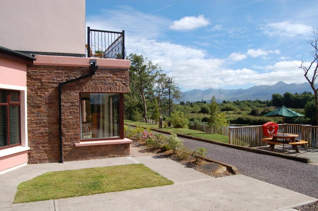 Lodge GroveWood · 967 yd
 European YewEuropean Yew · 1316 yd
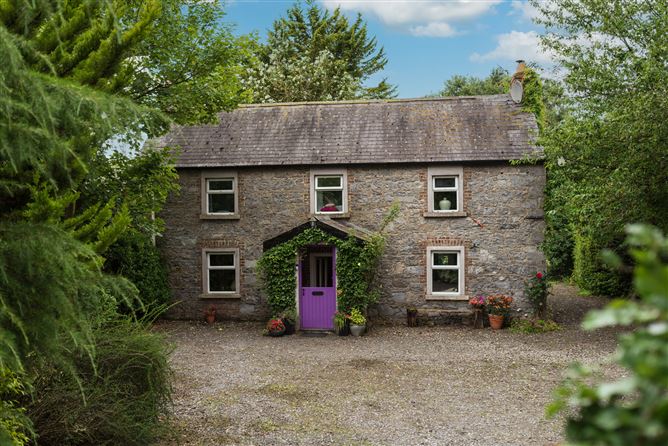 Enclosure in Monasterevin BogEnclosure · 1376 yd
 The Ranchworker's house · 1414 yd
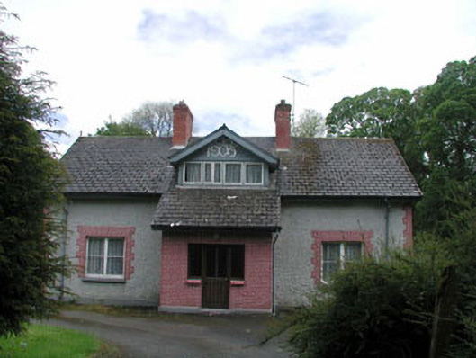 Moore Abbeyhouse · 1477 yd
 Font in Mooreabbey DemesneFont · 1665 yd
 Bawn in Lackagh BegBawn · 2.8 mi
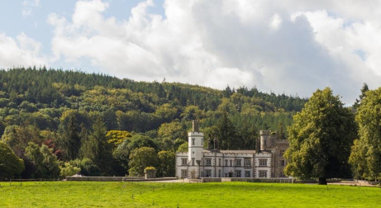 CastleCastle, unclassified · 4.6 mi
 Bithia Mary CrokerMemorial · 6.3 mi
 Bog Lake WalkWalking route · 6.7 mi
 Derryounce Walk (Yellow Loop)Walking route · 6.9 mi
 The Fairy BowerHeritage attraction · 10 mi