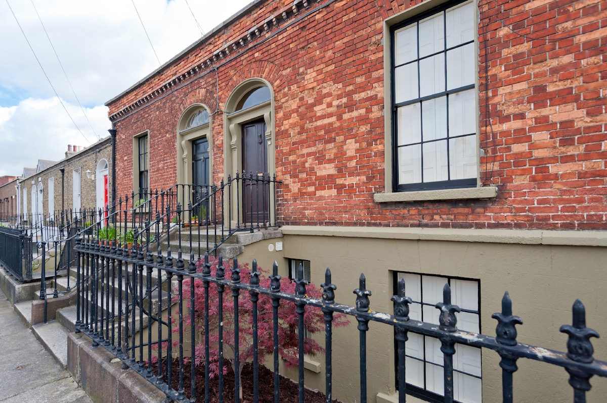
What is recorded here
A habitation site with associated stone axe was exposed during monitoring of the North-East Gas pipeline (Gowen 1984, 56, Fig.18, 22).
Compiled by: Geraldine Stout
Date of upload: 26 August 2011
The monument record does not grant public access. Check the route and ask the landowner before entering private land.
- What survives
- Recorded monument
Places near here
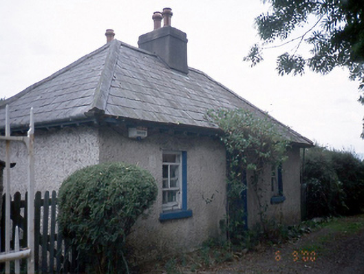 Oatlands Housegate lodge · 250 yd
 Rag WellHoly well · 256 yd
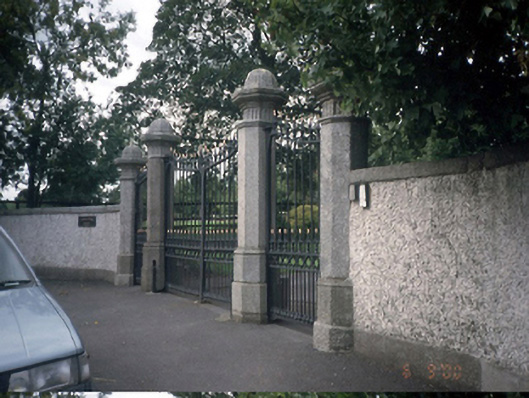 Diswellstown Housedemesne walls/gates/railings · 261 yd
 Castleknock CastleCastle · 851 yd
 TowerBurial · 1128 yd
 Graveyard in Palmerstown LowerGraveyard · 1749 yd
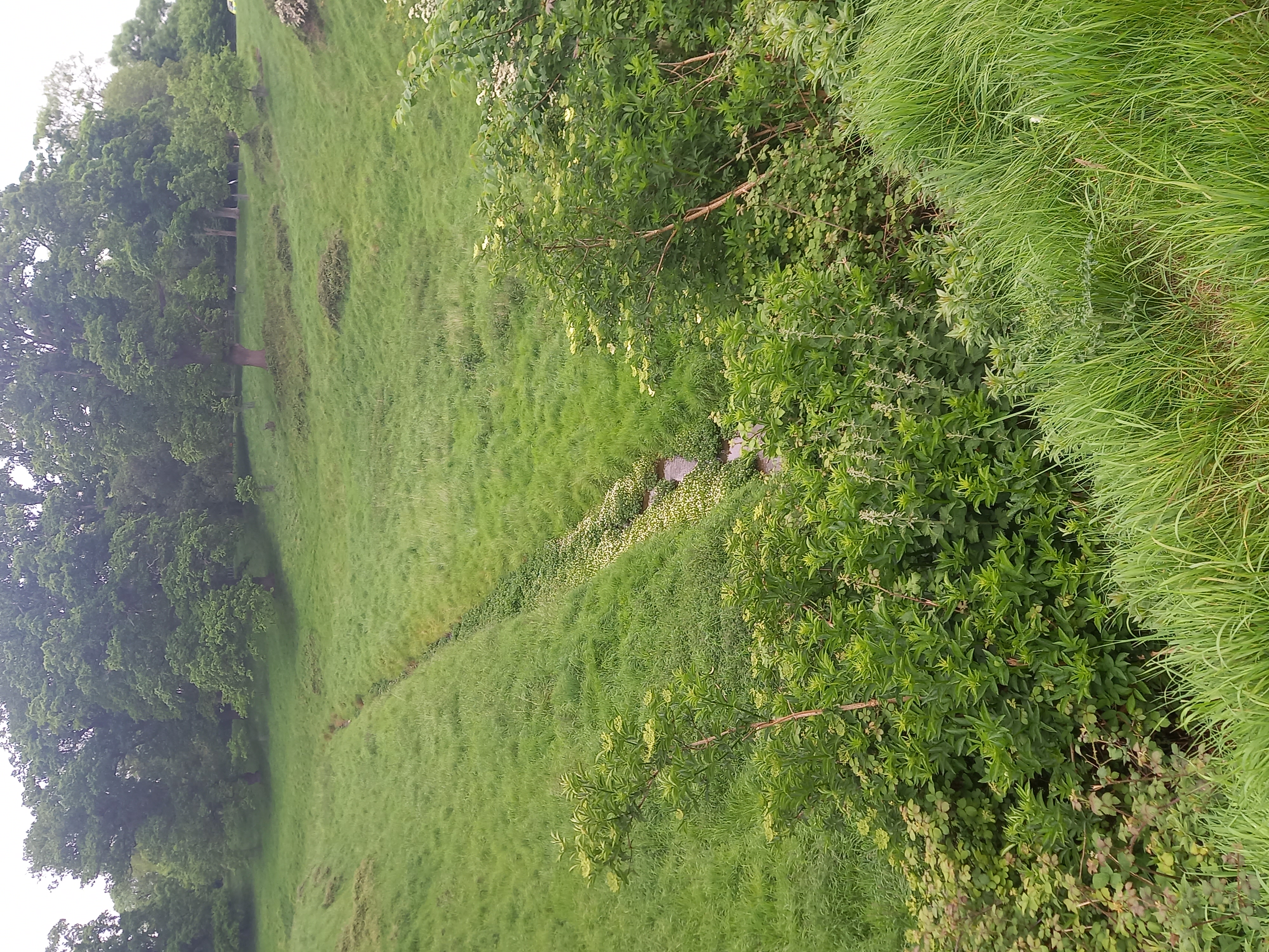 Furry GlenWood · 1.3 mi
 Rabbit WarrenWood · 1.3 mi
 Castle (in ruins)Castle, tower house · 1.5 mi
 Blanchardstown Centre information deskVisitor information · 1.8 mi
 Graveyard in Unknown TownlandGraveyard · 1.9 mi
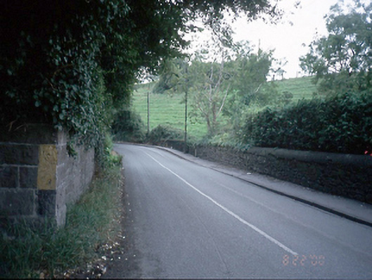 bridgebridge · 339 yd
Other information
Photo: Credit not shown in the picture search · Rights wording not checked; contact us if this picture should be removed