
What is recorded here
Castle (in ruins), Irishtown (uppercross By.) stands as a two-storey western turret, the last visible fragment of a towerhouse buried inside a modern housing estate. Patrick Browne and his wife agreed in 1601 to build a castle on those lands, and the place remained large enough to be called habitable when surveyed decades later. The turret still has lintelled entrances and plain square openings, while the rest has vanished under roofs and streets.
Situated on flat ground in the middle of a housing estate. The W corner turret is all that survives of this towerhouse. It rises to two storeys. Built of roughly coursed masonry with dressed quoins. There is a lintelled entrance on E side at ground level and first floor (int. dims. L 3.4m; Wth 3m). The S side of the tower is lit by plain square opes. According to the Exchequer Inquisitions for County Dublin, it was agreed in 1601 that Alderman Patrick Browne and his wife should build a castle on the lands of Irishtown (Ball 1906, 87). This building is marked on the Down Survey (1655-6) map. The Civil Survey 1654-55 describes this building as a habitable house (Simington 1945, 292). A drawing by Beranger dated 1772 shows a twin gabled towerhouse (Harbison 1998, 30-31).
Compiled by: Geraldine Stout
Date of upload: 26 August 2011
The monument record does not grant public access. Check the route and ask the landowner before entering private land.
- What survives
- Recorded monument
Places near here
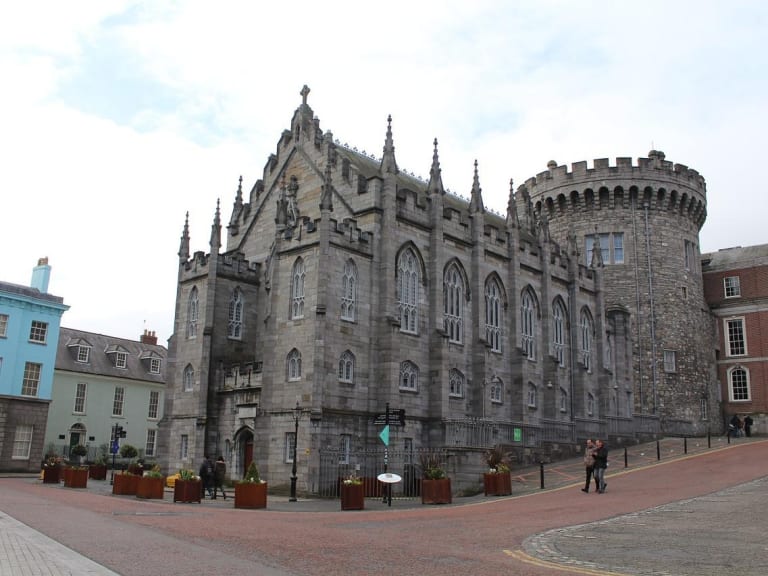 CastleCastle, unclassified · 493 yd
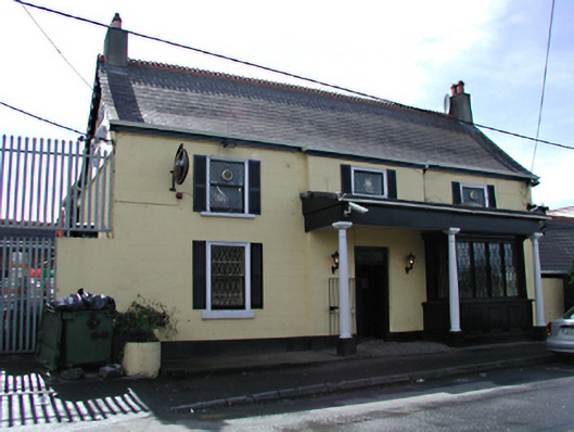 Deadman's Innpublic house · 912 yd
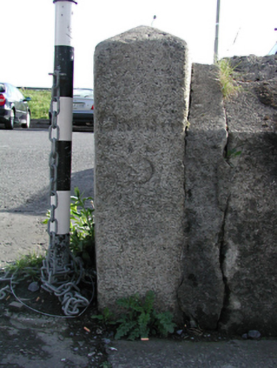 milestone/milepostmilestone/milepost · 919 yd
 Bush of BalgarryRitual site, holy tree/bush · 1214 yd
 Fulacht fia in FonthillFulacht fia · 1519 yd
 Rabbit WarrenWood · 1.4 mi
 Griffeen Valley WalkWalking route · 1.5 mi
 Giant SequoiaGiant Sequoia · 1.6 mi
 Graveyard in Palmerstown LowerGraveyard · 1.7 mi
 Castleknock CastleCastle · 1.9 mi
 Early Stadium DesignHeritage attraction · 3.4 mi
 Guinness' BreweryMemorial · 3.7 mi
Other information
Photo: Credit not shown in the picture search · Rights wording not checked; contact us if this picture should be removed