
What is recorded here
Monitoring of a Bord Gaís pipeline revealed a spread of burnt stone and charcoal (L4.2m, Wth 5.4m, D 0.25m) along the bank of the Liffey in 2000. No subsurface trough was found suggesting that an above ground trough was in use (O'Neill 2002, 101).
Compiled by: Geraldine Stout
Date of upload: 26 August 2011
The monument record does not grant public access. Check the route and ask the landowner before entering private land.
- What survives
- Recorded monument
Places near here
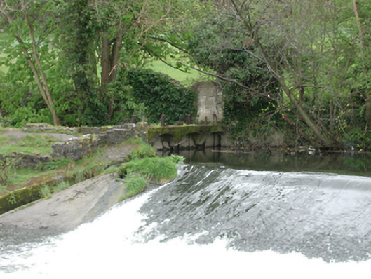 mill racemill race · 68 yd
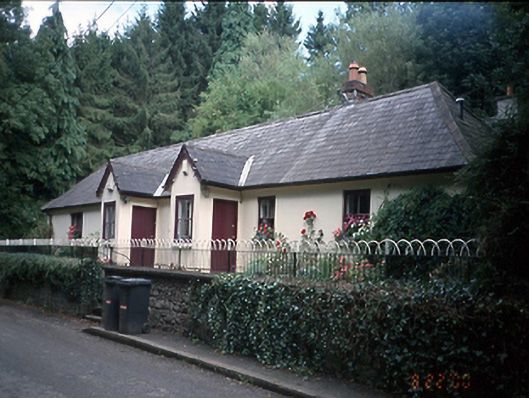 Silvermount and Silvermount Cottageschool · 129 yd
 IndicatedFairy fort / ringfort · 508 yd
 Burial ground in Astagob (castleknock By., Castleknock Ed)Burial ground · 537 yd
 Rabbit WarrenWood · 1104 yd
 Giant SequoiaGiant Sequoia · 1488 yd
 Castle (in ruins)Castle, tower house · 1519 yd
 CastleCastle, unclassified · 1558 yd
 Graveyard in Palmerstown LowerGraveyard · 1.7 mi
 Church, GraveyardChurch · 1.8 mi
 Griffeen Valley WalkWalking route · 1.9 mi
 National Famine WayWalking route · 2.0 mi
Other information
Photo: Credit not shown in the picture search · Rights wording not checked; contact us if this picture should be removed