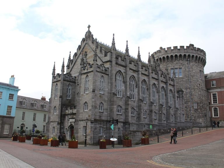
What is recorded here
Duncan's map (1821) shows 'Rowlagh Castle, defaced'. Today there is a housing estate on the site.Not visible at ground level.
Compiled by: Geraldine Stout
Date of upload: 26 August 2011
A local castle; wider significance not recorded.
The monument record does not grant public access. Check the route and ask the landowner before entering private land.
- What survives
- Recorded monument
Places near here
 Castle (in ruins)Castle, tower house · 493 yd
 Collinstown House RuinsRuins · 717 yd
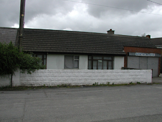 P&P Motor Factorshouse · 1086 yd
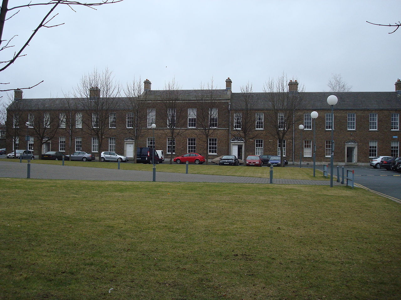 Bush of BalgarryRitual site, holy tree/bush · 1152 yd
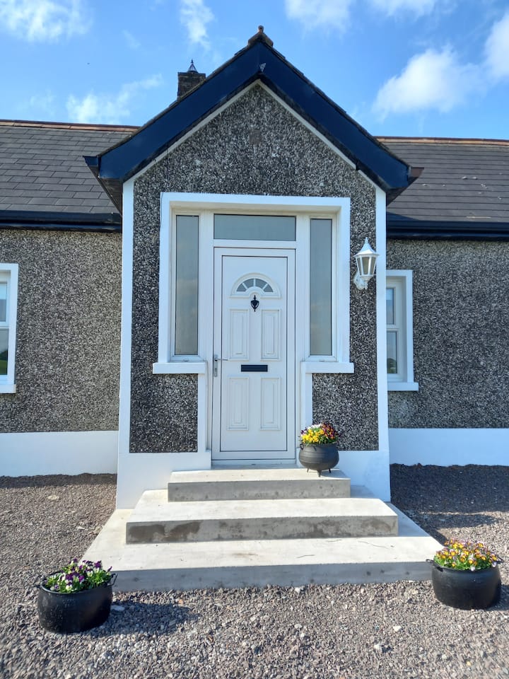 Enclosure in CappaghEnclosure · 1.0 mi
 Griffeen Valley WalkWalking route · 1.6 mi
 Rabbit WarrenWood · 1.7 mi
 Graveyard in Palmerstown LowerGraveyard · 1.7 mi
 Giant SequoiaGiant Sequoia · 1.8 mi
 Castleknock CastleCastle · 2.0 mi
 National Famine WayWalking route · 2.3 mi
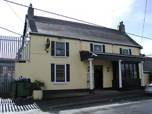 Deadman's Innpublic house · 1279 yd
Other information
Photo: Credit not shown in the picture search · Rights wording not checked; contact us if this picture should be removed