What is recorded here
Aghavas Lough once flooded the valley, but drainage and forestry stripped the water away. Under the soil lay a charcoal-rich oval, scattered stones, and crannog ware dating to the late medieval period. People likely lived beside the water, ground grain on the quernstone, and watched the lake breathe before trees swallowed the memory.
Located in the now reclaimed Aghavas Lough, which is represented as a subrectangular lake (dims c. 250m E-W; c. 200m N-S) on the 1837 ed. of the OS 6-inch map but which could have been much larger (dims c. 800m E-W; c. 300m N-S). Forestry works in 1999 revealed artifacts including a quernstone (Buckley 1999), which was reported by Brendan Lynch. A record (99E0555) of features revealed by the drains was made (O’Sullivan and Lyttleton 1999). Two layers of lake marl overlay an oval charcoal-rich layer with ash lenses (dims 17m N-S; 11m E-W; max. T 0.5m), which in turn overlay a layer of peat. Some vertical posts and stones from a paved area were recorded, but no large structural base of trees and stones. Artifacts recovered include crannog ware, suggesting a late medieval date for a lakeside habitation site (13th to 16th century AD). It was subsequently planted with trees. (Buckley and O’Sullivan 2000)
Compiled by: Michael Moore
Date of upload: 9 September, 2015
The monument record does not grant public access. Check the route and ask the landowner before entering private land.
- What survives
- Recorded monument
Places near here
 St. Patricks WellHoly well · 2.0 mi
 Fairy fort / earthen ringfort in AgharannFairy fort / earthen ringfort · 2.1 mi
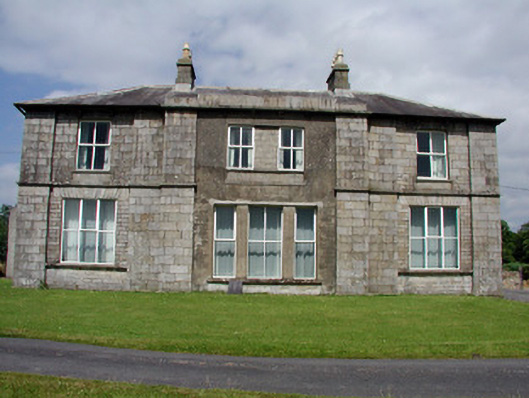 Druminshin Glebe Houserectory/glebe/vicarage/curate's house · 2.8 mi
 European YewEuropean Yew · 2.9 mi
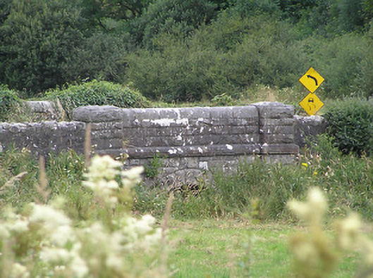 Drumury Bridgebridge · 2.9 mi
 North Midland Transport CollectionMuseum · 3.0 mi
 CornaferstMountain / peak · 3.4 mi
 Sessile OakSessile Oak · 3.5 mi
 King's GraveArchaeological place · 3.5 mi
 DrumbreanlisMountain / peak · 3.5 mi
 Giant's GraveArchaeological place · 5.8 mi
 Battle of BallinamuckMajor battlefield · 6.1 mi