
Places near here
Photo credits
- National Inventory of Architectural Heritage
- John M, Geograph · CC BY-SA 2.0
- Tim FitzGerald, Wikimedia Commons
- Andrew Wood, Geograph · CC BY-SA 2.0
- Greg Clarke, Wikimedia Commons · CC BY 2.0
- Maker not stated on source page, www.harbourmaps.com
- Eh cork, Wikimedia Commons · CC BY-SA 4.0
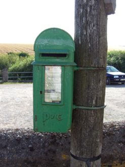 post box199 yd
Explorer Tom Finure’s post box is wearing Celtic script like it went to a very exclusive design school in the fifties. The builder…
 InchBeach / strand · 1232 yd
Explorer Tom Inch is up to something when nobody’s looking, probably rearranging the shells or plotting a tiny rebellion against the…
 Inch Strand, WhitegateSurfing beach · 1279 yd
Explorer Tom Inch Strand near Whitegate opens a sweep of sand where the waves have persuaded a surf school to set up shop. Fáilte…
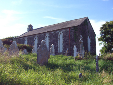 church/chapel1.0 mi
Explorer Tom Church or chapel in Inch is run by a dog who barks at clouds and calls it prayer. It’s a simple barn-style church…
 rectory/glebe/vicarage/curate's house1.1 mi
Explorer Tom Rectory in Ballykenefick has no windows on its front because of a glass tax, which is basically an excuse to be…
 Trabolgan HouseChimney · 1.6 mi
Explorer Tom Trabolgan House chimney is just a tall brick stick that used to smoke out the flax factory workers until they quit.…
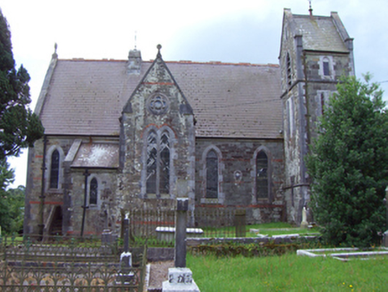 Saint Michael's Church of Ireland ChurchChurch/chapel · 2.6 mi
Explorer Tom Saint Michael's Church of Ireland Church in Corkbeg would teach history by showing you its ruined predecessor and…
 Church Bay BeachBeach / strand · 3.6 mi
Explorer Tom Church Bay near Crosshaven is a beach with a secret written across its rocks. Swim or sit on the shore if conditions…
 Camden FortFortification · 3.6 mi
Explorer Tom Camden Fort is sitting up there judging your outfit and probably writing a scathing review of your life choices on its…
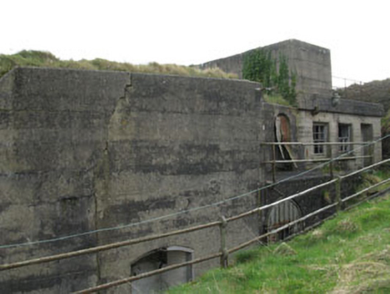 Camden Fort MeagherBattery · 3.6 mi
Explorer Tom Camden Fort Meagher on Crosshaven Hill is a concrete gun battery from around 1910. It pairs up with Fort Davis across…
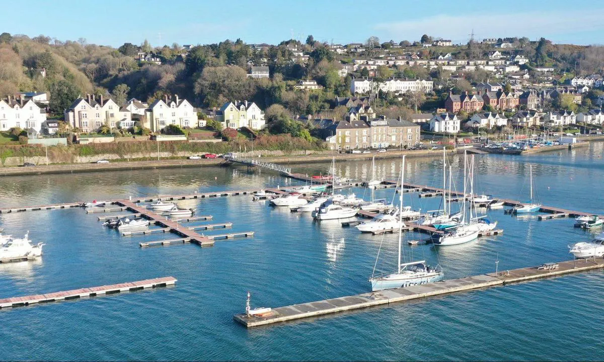 Crosshaven GAA pitchGAA ground · 3.8 mi
 Saint Matthew's Church (Templebreedy)Church/chapel · 3.9 mi
Explorer Tom Saint Matthew's Church (Templebreedy) was dismantled in 1868 but still has a spire-topped turret that pierces the…
More archaeology and monuments in County Cork · All of County Cork

What do you know about this place?Tap to add a comment or ask a question