
What is recorded here
Detached three-bay two-storey over basement former rectory, built c. 1850, now in use as private house. U-plan hipped slate roof with overhanging eaves, rendered chimneystacks and cast-iron rainwater goods. Rendered walls having square-headed blind openings to outer bays of front (north) elevation. Square-headed window openings having cut limestone sills and six-over-six pane timber sliding sash windows. Square-headed opening with tripartite two-over-two pane timber sliding sash window. Round-headed door opening to front elevation with chamfered render surround, glazed fanlight and timber panelled door, with rendered steps bridging area to basement. Outbuilding to south-east with random rubble stone walls, pitched slate roofs, square-headed openings with timber fittings. Rubble stone boundary walls to north of site with rendered sweep walls and square-profile piers having wrought-iron double-leaf gates.
Attractive and interesting former rectory with curious front elevation almost completely free of openings, with finely crafted tripartite windows to west elevation. The omission of glazing to the front façade may be due to a glass tax which was in place between 1696 and 1851. As a consequence windows were bricked up throughout the country in order to save money, alternatively wealthy landowners built estates incorporating numerous windows as an exercise in ostentation. One further result of this tax was the inclusion of blind openings, structurally these were windows, ready to be opened up on the rescindment of the window tax. It would seem that the east and west elevations of this structure compensate for the lack of openings to the front façade, which itself may have merely been an exercise in modesty, humility and restraint, spurred by the implications of the window tax. The survival of this well-executed former rectory together with its outbuildings and gate piers, adds to the architectural heritage of the area.
This does not grant access. Most recorded buildings are privately owned; view them only from public ground unless the owner allows entry.
Places near here
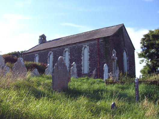 church/chapelchurch/chapel · 260 yd
 Grave YdGraveyard · 265 yd
 Prehistoric sitePrehistoric site, lithic scatter · 394 yd
 RobertMemorial · 971 yd
 InchBeach / strand · 1005 yd
 Fossil Worm TrackNamed rock · 1142 yd
 Doonpower (in Ruins)Castle, unclassified · 1.1 mi
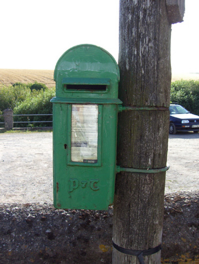 post boxpost box · 1.1 mi
 Anchor The SagaMemorial · 1.6 mi
 Ballybrannigan BeachBeach / strand · 2.0 mi
 Trabolgan Holiday VillageHeritage attraction · 2.7 mi
 Long OrchardWood · 3.0 mi
Other information
Photo: National Inventory of Architectural Heritage · Website use allowed for educational or private purposes with source credit