What is recorded here
From OpenStreetMap (© OpenStreetMap contributors) w344105512
Places near here
Photo credits
- National Inventory of Architectural Heritage
- Greg Clarke, Wikimedia Commons · CC BY 2.0
- Tim FitzGerald, Geograph · CC BY-SA 2.0
- Andrew Wood, Geograph · CC BY-SA 2.0
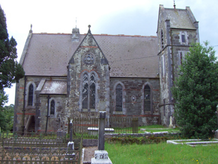 Saint Michael's Church of Ireland ChurchChurch/chapel · 435 yd
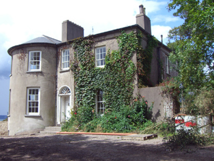 rectory/glebe/vicarage/curate's house661 yd
 Mound in CorkbegMound · 689 yd
Explorer Tom Mound in Corkbeg was a small circular mound on old maps but now there's just a new road. No visible trace left at all. They paved over history to get to work faster, typical.
Whitegate War MemorialMemorial · 865 ydGrave of Major Geoffrey Lee Compton-Smith, d.s.o.Memorial · 1296 ydCastle (in Ruins)Castle, unclassified · 1541 ydExplorer Tom A Castle in Corkbeg was once an island, now under an oil refinery. A painting shows a tower house and dovecote. The castle collapsed on one side in 1915. Ouch!
Long PointHeadland · 1.2 miCastleCastle, unclassified · 1.3 miExplorer Tom The Castle in Ballincarroonig is actually a house on the site of Aghada Castle. It was called Longeforde on old maps, which means Viking camp. The name survives at nearby Long Point, which is a cool connection.
Trabolgan Holiday VillageHeritage attraction · 1.4 mi Camden FortFortification · 1.8 mi
Explorer Tom Camden Fort is perched high above the harbour, guarding the entrance like a stern gatekeeper with a grudge. It was built in 1798 and has some interesting connections to James II’s battery from way back when. Take a picture for me if you can see the tunnel!
 Roches PointHeadland · 1.9 mi
 Church Bay BeachBeach / strand · 2.4 mi
More woods, forests and old trees in County Cork · All of County Cork
What do you know about this place?Tap to add a comment or ask a question