
What is recorded here
Oval-shaped area, once an island but now connected to mainland by narrow isthmus; entire area occupied by oil refinery. No visible surface trace of two structures marked on OS 6-inch map and shown in photo (Coleman 1915, opp. 180) in grounds of Corkbeg House. Oil painting in board room of refinery (probably late 18th century) shows tall structure of tower house appearance with lower wider building immediately to W; within walled garden of house to SE a small circular structure with conical roof is shown which could have been corner tower of bawn enclosure though more likely to be dovecote or associated with house. According to Healy (1988, 126) 'in 1915 the old castle collapsed on one side, showing the interior stone arch' (vault). Castle of De Caunton or Condon family, built in 1396 according to Windele (Coleman 1915, 169) though tower house probably later.
The above description is derived from the published 'Archaeological Inventory of County Cork. Volume 2: East and South Cork' (Dublin: Stationery Office, 1994). In certain instances the entries have been revised and updated in the light of recent research.
Date of upload/revision: 14 January 2009
A local castle; wider significance not recorded.
The monument record does not grant public access. Check the route and ask the landowner before entering private land.
- What survives
- Recorded monument
Places near here
 Long PointHeadland · 1113 yd
 Holy Cross Church (in Ruins)Church · 1281 yd
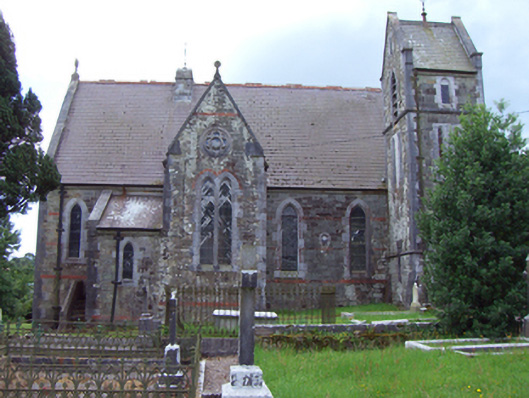 Saint Michael's Church of Ireland Churchchurch/chapel · 1291 yd
 Grave of Major Geoffrey Lee Compton-Smith, D.S.O.Memorial · 1303 yd
 Mound in CorkbegMound · 1332 yd
 Burial Ground (Site of)Burial ground · 1382 yd
 Whitegate War MemorialMemorial · 1384 yd
 Long OrchardWood · 1541 yd
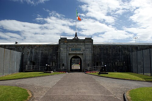 Spike IslandIslet · 1.6 mi
 Titanic Memorial GardenHeritage attraction · 2.0 mi
 The BenchViewpoint · 2.2 mi
 Castle (Site of)Castle, unclassified · 2.3 mi
Other information
Photo: Credit not shown in the picture search · Rights wording not checked; contact us if this picture should be removed