What is recorded here
Sub-rectangular shaped graveyard surrounding church remains (LH015-011001-). A number of graveslabs dating to the early eighteenth century noted (CLAJ 1922, 104; CLAJ 1951 114-7).
Compiled by: Claire Breen
Date of upload: 31 May 2012
The monument record does not grant public access. Check the route and ask the landowner before entering private land.
- What survives
- Recorded monument
Places near here
 R.C ChapelChurch · 23 yd
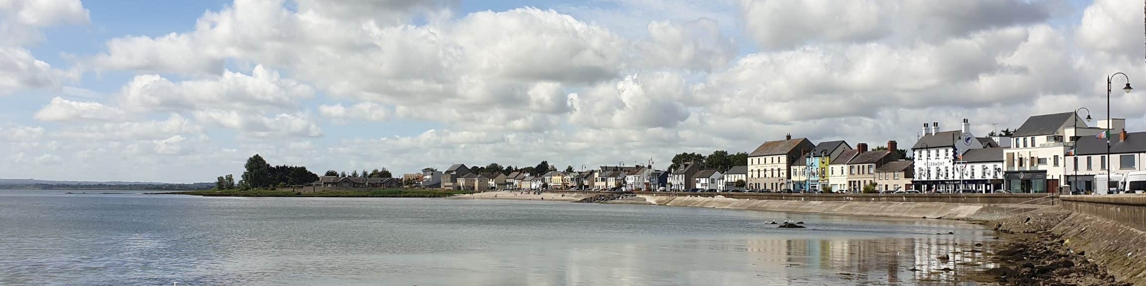 Font (present location) in KilsaranFont (present location) · 40 yd
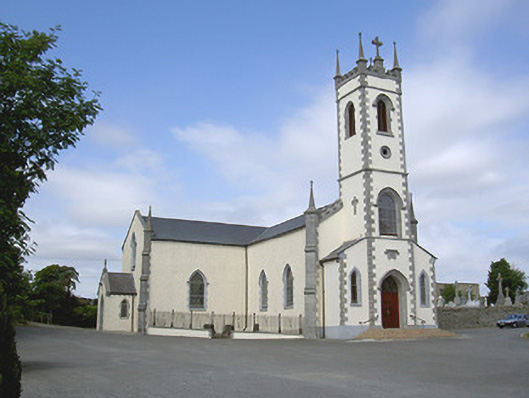 Saint Mary's Catholic Churchchurch/chapel · 47 yd
 GreenmountCastle, motte and bailey · 927 yd
 Castle (Site of)Castle, unclassified · 1053 yd
 Enclosure in WilliamstownEnclosure · 1176 yd
 Drummeenagh HillMountain / peak · 1.4 mi
 Viking BoatHeritage attraction · 2.6 mi
 Rabbit BurrowWood · 3.4 mi
 Graveyard in Richardstown (ardee By., Richardstown Par.)Graveyard · 3.5 mi
 Monterey CypressMonterey Cypress · 3.5 mi
 Tullydonnell HillMountain / peak · 3.5 mi