What is recorded here
Kilcroney graveyard hides beneath an unmarked hill called Cat's Hill, where local tradition places a lost church and its dead. The earth keeps its secret from every survey, denying even a mound or stone to mark the boundary between the living and the buried. What remains is a shape of absence, a hill that refuses to explain itself while carrying the weight of every forgotten name.
Local tradition of church at 'Cat's Hill' (CLAJ 1942, 106). No visible surface trace, and the precise location of this feature is not known.
The above description is derived from both the published 'Archaeological Inventory of County Louth' (Dublin: Stationery Office, 1986) and the 'Archaeological Survey of County Louth' (Dublin: Stationery Office, 1991). In certain instances the entries have been revised and updated in the light of recent research.
Date of upload: 5 April 2012
The monument record does not grant public access. Check the route and ask the landowner before entering private land.
- What survives
- Recorded monument
Places near here
 Church in KilcroneyChurch · 11 yd
 Cave (Site of)Man-made underground passage · 719 yd
 Enclosure in KilcroneyEnclosure · 1539 yd
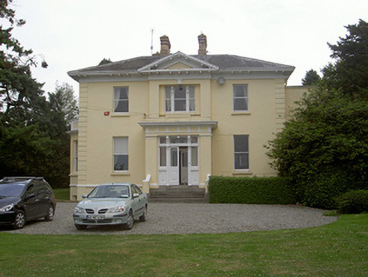 Rathbrist Housecountry house · 1681 yd
:no_upscale()/cdn.vox-cdn.com/uploads/chorus_asset/file/25593391/County_Louth_6th.jpg) LouthMountain / peak · 1.3 mi
LouthMountain / peak · 1.3 mi MoatCastle, motte and bailey · 1.6 mi
 CastleCastle, tower house · 1.6 mi
 Long PlantationForest · 2.1 mi
 Rabbit BurrowWood · 2.9 mi
 Drummeenagh HillMountain / peak · 5.2 mi
 Photo GalleryHeritage attraction · 6.4 mi
 Dundalk CentralHeritage attraction · 6.4 mi