What is recorded here
One of two Rathbrist stones has vanished, leaving a sudden hollow where a companion should stand. The survivor remains in County Louth, tall enough to mark a boundary or a memory, but silent about which.
The following description is derived from both the published 'Archaeological Inventory of County Louth' (Dublin: Stationery Office, 1986) and the 'Archaeological Survey of County Louth' (Dublin: Stationery Office, 1991). In certain instances the entries have been revised and updated in the light of recent research.
Date of upload/revision: 17 July 2007
Stubbs refers to two standing stones at Rathbrist (CLAJ 1911, 353). Only one now extant (LH011-086----).
The monument record does not grant public access. Check the route and ask the landowner before entering private land.
- What survives
- Recorded monument
Places near here
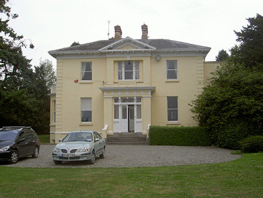 Rathbrist Housecountry house · 229 yd
 IndicatedEnclosure · 425 yd
 Enclosure in RathbristEnclosure · 811 yd
 schoolschool · 1054 yd
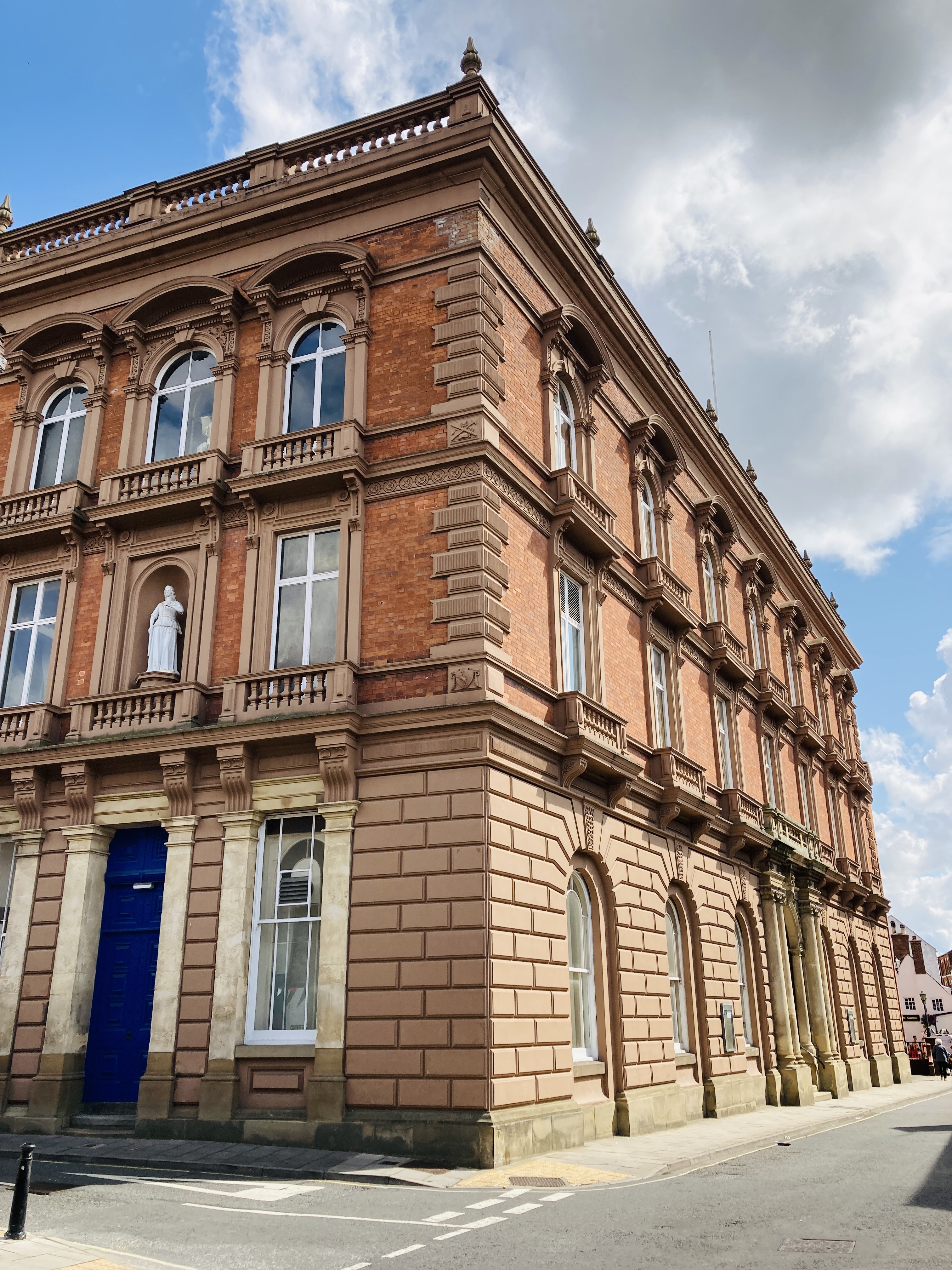 MoatCastle, motte and bailey · 1073 yd
 RathneestinCastle, tower house · 1.0 mi
 Long PlantationForest · 1.4 mi
:no_upscale()/cdn.vox-cdn.com/uploads/chorus_asset/file/25593391/County_Louth_6th.jpg) LouthMountain / peak · 1.5 mi
LouthMountain / peak · 1.5 mi SycamoreSycamore · 1.8 mi
 Graveyard in StickillinGraveyard · 5.0 mi
 Graveyard in Richardstown (ardee By., Richardstown Par.)Graveyard · 5.8 mi
 BallybarrackMountain / peak · 6.0 mi