What is recorded here
Cloonderreen is a graveyard hidden from the 1842 map, leaving behind a void where memory should be. It is a place where the dead outlived the instruments built to record them.
No visible trace of 'Graveyard' marked on OS 6-inch map (1842) associated with church (CO123-033001-).
The above description is derived from the published 'Archaeological Inventory of County Cork. Volume 1: West Cork' (Dublin: Stationery Office, 1992). In certain instances the entries have been revised and updated in the light of recent research.
Date of upload/revision: 14 January 2009
This remains an important historical record, but the official description says the monument is no longer visible or has been destroyed. The monument record does not grant public access. Check the route and ask the landowner before entering private land.
- What survives
- No visible remains or recorded as destroyed
Places near here
 Cloonderreen Church (in Ruins)Church · 5 yd
 Ardacrow HouseRuins · 1023 yd
 Burial in CloonderreenBurial · 1100 yd
 Site of Barleyfield R.C. ChapelChurch · 1228 yd
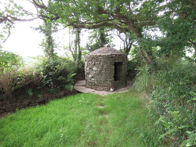 Trinity WellSpring · 1.1 mi
 Kilbrittain WoodWood · 1.5 mi
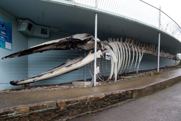 Kilbrittain WhaleHeritage attraction · 1.7 mi
 Flaxfort StrandBeach / strand · 1.7 mi
 Burrane Castle (Site of)Castle, unclassified · 1.9 mi
 Railway Timoo CourtmacsherryVisitor information · 2.1 mi
 Timoleague CastleCastle, tower house · 2.2 mi
 Kilnamanagh WoodWood · 2.2 mi