DDiscover AloneMapAbout

Graveyard DU017-042001- in Clondalkin

Graveyard
Graveyard in Clondalkin
Representative picture, exact place not confirmed
Photo: Maker not stated on source page, ru.pinterest.com · Report the wrong picture

The monument record does not grant public access. Check the route and ask the landowner before entering private land.

Official monument number
DU017-042001-
What do you know about this place?Tap to add a comment or ask a question

What you write will be public.

What is recorded here

Survey work by Dublin County Council in 1962 for a housing scheme at Clondalkin, Co. Dublin, identified an earthen banked enclosure, the exact nature of which was uncertain. The former existence of a church was recorded in the name of the field in which it lay. On a map of the Estate of James Marinus Kennedy, dated…

Read the whole record
Survey work by Dublin County Council in 1962 for a housing scheme at Clondalkin, Co. Dublin, identified an earthen banked enclosure, the exact nature of which was uncertain. The former existence of a church was recorded in the name of the field in which it lay. On a map of the Estate of James Marinus Kennedy, dated 1761, this field is referred to as the "Chappie Field", and on an untitled map of the Clondalkin area, undated but not later than 1785, it is referred to as the "Chapel Hill". Writing in 1944, Liam Ua Broin was able to state that this field was even then known as the "Chapel Field" and that: "In it there is a mound with a little out cropping masonry, traditionally regarded as marking a church site, but it may the remains of a rath. On one map "The Chappie" is marked as being beside the road at the southern edge of this area and this church may well have replaced the church on the site investigated. In January, 1964, foundations of a stone nave and chancel church were exposed along with human bones during rescue excavations carried out by Etienne Rynne of the National Museum of Ireland (Rynne 1967, 29-37). The church (DU017-042----) stood within a roughly oval shaped ecclesiastical enclosure (dims. 48m E-W x 40m N-S) defined by a low earthen bank (Wth 4m, H 0.8m) with no trace of an external fosse. During the excavation large quantities of human bones were discovered, most densely concentrated within and around the church, but also scattered elsewhere. Seldom, however, was any articulation noted, and the bones were mixed up in complete disorder. Whenever articulation did occur, it suggested burial with an East-West orientation. During the cuttings made through the foundations of the nave and chancel (see above) several bones and bone fragments were found. Some bones were also found among the stones of the south-western corner of the altar (the only part of the altar which was excavated). The presence of these human bones (mostly of children) in the foundations and incorporated into the structure of the altar suggests that the site had been extensively used for burial before the church was built, a suggestion perhaps further supported by the chaotic dispersal of the bones and the shallow depth at which they were discovered. This theory presupposes the existence of an earlier (wooden?) church somewhere within the enclosure, but no traces of such were discovered'. The excavator concluded that it was; 'possible that a wooden church surrounded by an earthen enclosure may have existed on this site at an early date, perhaps during the 11th century when a fine bronze ring-pin was lost there. Some time later, probably in early Medieval times, a small stone church consisting of nave and chancel was built within the enclosure but before the end of the 18th century this had been destroyed and apparently replaced by another building some distance to the South. The site had been used extensively for burial before the stone church was built and interments possibly continued on the site after its erection' (Rynne 1967, 37). A small housing estate SE of Watery Lane occupies the site. No surface remains visible of the excavated graveyard. See attached map showing location of excavated church and ground plan of church, taken from Rynne 1967 Compiled by: Caimin O'Brien Date of upload: 18 July 2023

From the National Monuments Service (Archaeological Survey of Ireland) record DU017-042001

Places near here

Photo credits
  • Tdr112, Wikimedia Commons · CC BY-SA 4.0
  • National Inventory of Architectural Heritage
  • Maker not stated on source page, www.flickr.com
  • Ian Paterson, Wikimedia Commons · CC BY-SA 2.0
Clondalkin LibraryLibrary/archive · 335 yd

Explorer Tom Clondalkin Library has an escape plan where its first owner hid a secret tunnel under the castle-style buttresses to…
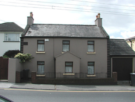
Castle ViewHouse · 390 yd

Explorer Tom Castle View was built on a bargain where the architect got paid in sandwiches and the builder got a free haircut…

MillviewHouse · 479 yd

Explorer Tom Millview has uPVC windows now, so it’s traded its heritage for convenience. It sits on Nangor Road looking slightly out…

RiversideHouse · 486 yd

Explorer Tom Riverside in Clondalkin is a handsome early nineteenth-century house on Nangor Road, built around 1820. It closes the…

gate lodge502 yd

Explorer Tom Gate lodge in Clondalkin would ace a reality show because it’s calm while everyone else panics about the college…

Presentation Sister's GraveyardCemetery · 654 yd

Explorer Tom Presentation Sister's Graveyard in County Dublin is playing hard to get. These sisters must have been fierce, judging…

mill race696 yd

Explorer Tom Mill race in Clondalkin is basically doing a lazy river vibe when nobody’s looking, just floating leaves around like…

Mount St. Joseph's CemeteryCemetery · 826 yd

Explorer Tom Mount St. Joseph's Cemetery in County Dublin is currently being debated over by a colony of rabbits who think the…

lock keeper's house846 yd

Explorer Tom Lock keeper's house in Clonburris Great is sitting by the canal. From 1820, it has ruled and lined render that looks…
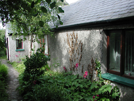
Chomer CottageFarm house · 854 yd

Explorer Tom Chomer Cottage in Clondalkin is a hidden gem behind high walls, pretending to be a private home. It was a farmhouse…

9th LockLock · 874 yd

Explorer Tom 9th Lock in Ballymanaggin is bigger than its friends on the canal, which makes the local sheep think it’s showing off…

Cappaghmore LodgeGate lodge · 1171 yd

Explorer Tom Cappaghmore Lodge hosted a fake royal visit once that nobody can disprove because the diary was written in invisible…

More memorials and graveyards in County Dublin · All of County Dublin

Add to this placeAdd a picture Add a detailed tip Add a story

Explore the map1,095,414 places to discover

Next place · or swipeClondalkin Library