What is recorded here
Ballyvolden holds a lost graveyard and perhaps the parish church of Ballymolden, though no marker remains to prove the claim. The place may have served generations before human memory faded, yet it has slipped from local knowledge entirely. What is certain is that Ballyvolden exists in County Carlow and that death once belonged there.
The following description is derived from the published 'Archaeological Inventory of County Carlow' (Dublin: Stationery Office, 1993). In certain instances the entries have been revised and updated in the light of recent research.
Date of revision: 16 December 2009
Revised by: J. Farrelly
According to O'Toole (O'Toole 1938, 13), burial ground exists here. Not located. Possibly also site of parish church of Ballymolden (CW013-031001-), shown on Down Survey (1655-6) map.
The monument record does not grant public access. Check the route and ask the landowner before entering private land.
- What survives
- Recorded monument
Places near here
 EnclosureEnclosure, large enclosure · 445 yd
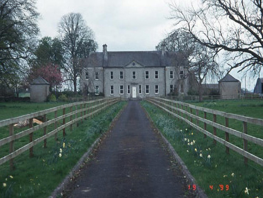 Sandbrook Househouse · 1192 yd
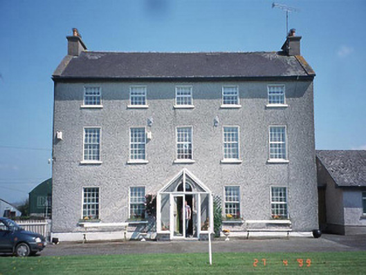 Rathrush Housefarm house · 1322 yd
 Enclosure in ArdristanEnclosure · 1528 yd
 Castlegrace MoatCastle, motte · 1.0 mi
 Kilmurry Church (in ruins), GraveyardChurch · 2.7 mi
 Scots PineScots Pine · 2.8 mi
 Ballynunnery Castle in ruinsCastle, unclassified · 2.8 mi
 Altamont Gardens MapVisitor information · 2.9 mi
 Altamont House and GardensHeritage attraction · 2.9 mi
 Church (in ruins), GraveyardChurch · 3.6 mi
 European ashEuropean ash · 4.0 mi