
What is recorded here
In an area on the edge of marshland to the E. A small quarry (dims. c. 40m NE-SW; c. 30m NW-SE) is located immediately S of the outer enclosure and encroaching on it slightly. A possible large enclosure (diam. c. 74m) identified as the cropmark of a fosse of varying widths on satellite imagery (Google Earth Pro, imagery date 14 July 2018) by both Simon Dowling and Jean-Charles Caillère (Google Earth satellite imagery, 21 July 2021). Within this enclosure there are a number of other curvilinear fosses which may be internal features of the large enclosure. Also there is a deeper fosse curving from NE-E-SE which perhaps indicates a smaller oval enclosure (diam. c. 50m NE-SW; c. 56m NW-SE) utilising the SW-W-NW fosse of the larger enclosure.
See attached:
CW013-135----_01 Google Earth satellite imagery, 14 July 2018
Compiled by: Jean Farrelly
Date of upload: 8 December 2021
A large early-medieval ringfort, likely dating to between the 5th and 10th centuries, associated with a possible settlement or defensive structure. Local tradition may connect such sites with fairy lore, though specific folklore for this location is not recorded.
The monument record does not grant public access. Check the route and ask the landowner before entering private land.
- What survives
- Recorded monument
Places near here
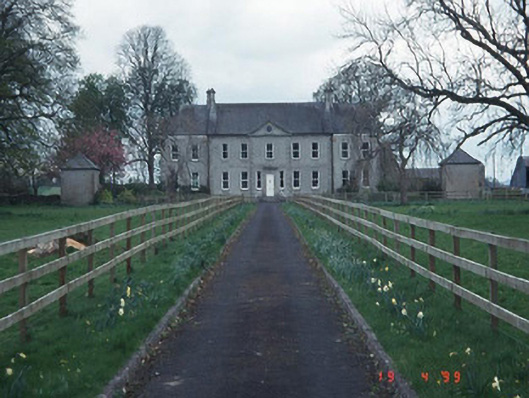 Sandbrook Househouse · 1112 yd
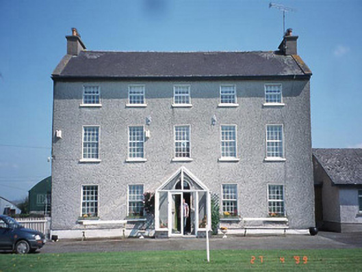 Rathrush Housefarm house · 1152 yd
 Enclosure in BallinadrumEnclosure · 1667 yd
 Enclosure in ArdristanEnclosure · 1.1 mi
 Castlegrace MoatCastle, motte · 1.1 mi
 Church (in ruins), GraveyardChurch · 1.9 mi
 Kilmurry Church (in ruins), GraveyardChurch · 2.5 mi
 Ballynunnery Castle in ruinsCastle, unclassified · 2.7 mi
 Scots PineScots Pine · 2.8 mi
 Altamont Gardens MapVisitor information · 2.9 mi
 Altamont House and GardensHeritage attraction · 3.0 mi
 European ashEuropean ash · 4.2 mi
Other information
Photo: Credit not shown in the picture search · Rights wording not checked; contact us if this picture should be removed