What is recorded here
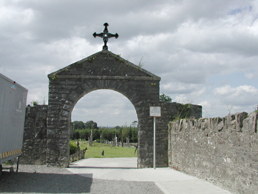
Enclosed graveyard, established c.1880, set on an area of land sloping down to the north-west with a limestone rubble boundary wall having rubble coping. Main entrance is to the south-east through a round-headed archway with limestone voussoirs and triangular pediment, with cast-iron cross finial above. Gravestones date from 1890s to the present day.
This graveyard ,which contains many finely carved headstones and has a handsome entrance gate, has been in use since the 1890s, making it a very important social and religious focus of the people of Saggart.
From the Buildings of Ireland (National Inventory of Architectural Heritage) record 11213034
This does not grant access. Most recorded buildings are privately owned; view them only from public ground unless the owner allows entry.
Places near here
Photo credits
- National Inventory of Architectural Heritage
- Mike Searle, Geograph · CC BY-SA 2.0
- Sitomon, Wikimedia Commons · CC BY-SA 2.0
- JP, Geograph · CC BY-SA 2.0
- jwd, Geograph · CC BY-SA 2.0
- Colin Park, Geograph · CC BY-SA 2.0
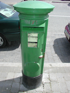 post box151 yd
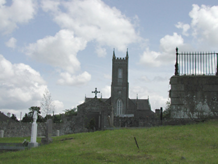 Catholic Church of the Nativity of the Blessed Virgin MaryChurch/chapel · 157 ydFont (present location) in SaggartFont (present location) · 158 ydFulacht fia in Moneyatta CommonsFulacht fia · 321 ydCastleCastle, tower house · 406 ydMeadow WildlifeVisitor information · 879 ydRathcoole WoodlandWood · 1389 yd
 CastleCastle, tower house · 2.9 mi
 European Yew2.9 mi
 Grand Canal WayWalking route · 3.4 mi
 Griffeen Valley WalkWalking route · 4.3 mi
 Cupidstown HillMountain / peak · 4.3 mi
More historic places in County Dublin · All of County Dublin
What do you know about this place?