
What is recorded here
Graveyard with collection of cut-stone markers, ob. 1789+. Set in grounds centred on site of Kilgarvan Church (pre-1700; in ruins 1840; lost pre-1902; "tidied up" 1975) [DS/SS].
A rural graveyard centred on the site of the medieval Kilgarvan Church (pre-1700; in ruins 1840; lost pre-1902; ""tidied up"" 1975) featuring a collection of markers of artistic interest demonstrating expert craftsmanship.
This does not grant access. Most recorded buildings are privately owned; view them only from public ground unless the owner allows entry.
Places near here
 St. Garvans WellHoly well · 298 yd
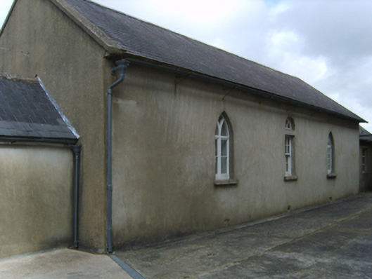 Saint Garvan's Catholic Churchschool · 759 yd
 Field system in CamarossField system · 981 yd
 KilnKiln, corn-drying · 983 yd
 Bawn in Tracystown WestBawn · 1.9 mi
 Camaross HillMountain / peak · 2.3 mi
 Taghmon CastleCastle · 2.5 mi
 Glenour MonumentMemorial · 3.1 mi
 Carrickbyrne HillMountain / peak · 3.9 mi
 Coolcliffe HouseRuins · 4.0 mi
 Carrig-On-BannowVisitor information · 7.8 mi
 1798 MemorialMemorial · 7.8 mi
Other information
Photo: National Inventory of Architectural Heritage · Website use allowed for educational or private purposes with source credit