DDiscover AloneMapAbout

Graveslab in Killogilleen

Graveslab
Computer-made picture that does not show Graveslab in KillogilleenNot a photo of this monument
Computer-made picture. It does not show this monument. · Report the wrong picture

What is recorded here

This recumbent 17th-century graveslab (1.79m x 0.54m) is located within the church (GA104-148004-) adjacent to the S wall. It is described by Chapple (1997, no. 114) as follows: ‘The whole of the upper portion of the stone is carved with a double-banded, low relief latticework based on the intersection of lozenge,…

Read the whole record
This recumbent 17th-century graveslab (1.79m x 0.54m) is located within the church (GA104-148004-) adjacent to the S wall. It is described by Chapple (1997, no. 114) as follows: ‘The whole of the upper portion of the stone is carved with a double-banded, low relief latticework based on the intersection of lozenge, saltire cross, and Greek cross shapes with a central circle. The four sides of the panel where these features intersect are marked by semi-circles, while the corners are marked by quadrant-circles. Extending from the base of this decorated cross head is a low relief shaft, terminating on a base of three grieces. Approximately, half-way down the length of the shaft, on either side, is a small, rectangular panel carved in relief. Each is uninscribed and undecorated, though may originally have been painted. Above these, at approximately one-quarter length down the shaft, are two low relief "IHS" monograms, one placed on either side of the shaft. Each bears a cross patteé, fitched, springing from the cross-bar of the H. In both instances the letter 'S' leans slightly to the right. Below this again, to the left of the cross shaft, are what appear to be the very worn, relief numerals ‘l’ and ‘6’ To the right of the shaft is a very indistinct carving of what appears to be a relief number ‘5’, followed by a much more distinct number ‘4’, also carved in relief.’ Compiled by: Paul Walsh Date of upload: 10 January 2014 The attached image is uploaded courtesy of Robert M. Chapple.

From the National Monuments Service (Archaeological Survey of Ireland) record GA104-148008

The monument record does not grant public access. Check the route and ask the landowner before entering private land.

What do you know about this place?Tap to add a comment or ask a question

What you write will be public.

Places near here

Photo credits
  • National Inventory of Architectural Heritage
  • Martin Kerans, Geograph · CC BY-SA 2.0
  • Tripadvisor contributor; photographer not stated, Tripadvisor
  • Mike Searle, Geograph · CC BY-SA 2.0
  • Kmcnamee, Wikimedia Commons · CC BY-SA 4.0
  • Mike Searle, Wikimedia Commons · CC BY-SA 2.0
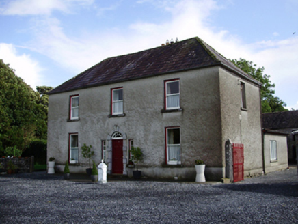
Carheen HouseHouse · 269 yd

Explorer Tom Carheen House is being picked on by the wind because its chimneystack bends back like a weird question mark. The carved…
Cregg Castle (in ruins)Castle, tower house · 728 yd

Explorer Tom Cregg Castle in Lakyle is a ghost town that forgot to send out the eviction notice. It’s been sitting there long enough…
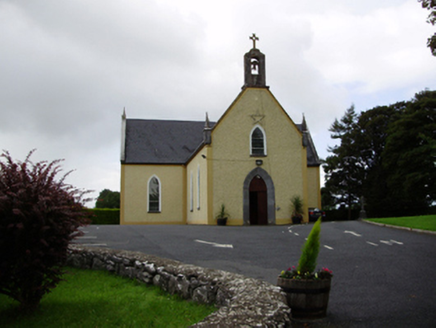
Saint Killian's Catholic ChurchChurch/chapel · 1097 yd

Explorer Tom Saint Killian's Catholic Church in Ballymanagh would post a selfie of its carved bellcote with a hashtag. It’s sitting…
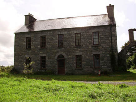
Kilquain HouseHouse · 1.3 mi

Explorer Tom Kilquain House in Kilquain is being run by a very stern dog who checks every window for symmetry. The square-headed…
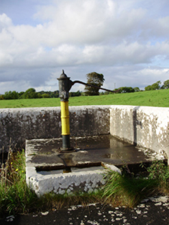
water pump1.4 mi

Explorer Tom Water pump in Ballygarraun makes a weird clinking sound at night that nobody can explain. It thinks it’s elegant with…

Woodville Walled GardenGarden · 1.4 mi

Explorer Tom Woodville Walled Garden hides behind stone at Kilchreest, where fruit, flowers and a restored dovecote make the old…
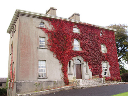
Woodville HouseCountry house · 1.4 mi

Explorer Tom Woodville House would teach history by making you iron its dovecote feathers. It was home to Harry Persse, who probably…
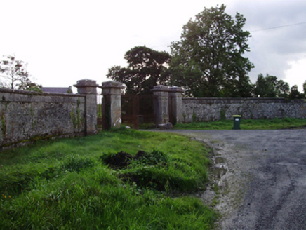
RoxboroughGates/railings/walls · 1.5 mi

Explorer Tom Roxborough gates would say in a job interview that they have great references from Lady Gregory. They’re standing guard…

MonksfieldCountry house · 1.7 mi

Explorer Tom Monksfield swears by a local superstition that says touching its corner brings bad luck unless you hum. The render is…

Craughwell GAAGAA ground · 2.9 miPáirc Thomáis Naofa, Castleboy, St. Thomas GAAGAA ground · 3.5 miBallymaquiff CastleCastle · 6.3 mi

Explorer Tom Ballybroder Castle was prophesied to sink into the lake during a full moon, but that never happened because the water…

More archaeology and monuments in County Galway · All of County Galway

Add to this placeAdd a picture Add a detailed tip Add a story

Explore the map1,095,414 places to discover

Next place · or swipeCarheen House