
What is recorded here
Within a field system (GA104-148003-). This poorly preserved rectangular medieval church (10.75m E-W; 7m N-S) is heavily overgrown with ivy. Both gables survive as well as most of the S side-wall, however, there is a breach in this wall and its W end is buttressed. Apart from the return of N side-wall (L 1.5m), no visible surface trace of it survives. An overgrown pointed lancet window is evident in the E gable and there is an aumbry below and to the N of it. A single-light window towards the E end of the S wall is blocked up. The OS Letters (O’Flanagan 1927, Vol. 1, 611-15) refer to an internal gable between the ‘church and an apartment, which was attached to the west end’ which suggests the former presence of living quarters at this end of the church. No visible surface trace of this wall was noted as the interior of the church has been
used for burial. Numerous architectural fragments from the church mark burials in the surrounding graveyard (GA104-148008-). (McCaffrey 1952, 231, no. 78)
Compiled by: Galway Archaeological Survey, UCG
Date of upload: 3 March 2020
The monument record does not grant public access. Check the route and ask the landowner before entering private land.
- What survives
- Recorded monument
Places near here
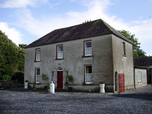 Carheen Househouse · 268 yd
 Field system in CarheenField system · 353 yd
 Cregg Castle (in ruins)Castle, tower house · 731 yd
 Structure in BallynascraghStructure · 842 yd
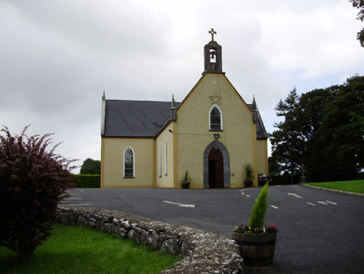 Saint Killian's Catholic Churchchurch/chapel · 1094 yd
 CarnanthomasCastle, unclassified · 1.2 mi
 Blake's IslandIslet · 4.8 mi
 Moyard WoodWood · 4.9 mi
 Ash IslandIslet · 5.0 mi
 Scalpeen RockNamed rock · 5.9 mi
 Kilcornan ForestWood · 6.9 mi
 Drumacoo Monastic SiteHeritage attraction · 8.3 mi
Other information
Photo: Credit not shown in the picture search · Rights wording not checked; contact us if this picture should be removed