What is recorded here
Located in the graveyard of St. Mary's Church (WA031-040004-). A fragment of a 15th or 16th century graveslab, a graveslab of Edward Stephenson dated 1610, and a graveslab of Robert Drefers dated 1685 have been recorded (Bradley et al. 1988, 33-4), but cannot now be traced.
Bradley, J., Halpin, A. and King, H. (1989) Urban archaeology Survey of Waterford City and County, 2 vols. Unpublished report commissioned by the Office of Public Works.
Compiled by: Michael Moore. Date of upload: 25th August, 2011.
A 17th-century Christian graveslab; significant as part of a small group of dated post-medieval funerary monuments in the region.
The monument record does not grant public access. Check the route and ask the landowner before entering private land.
- What survives
- Recorded monument
Places near here
 Grave YardGraveyard · 1 yd
 Church (in ruins)Church · 27 yd
 Saint Mary's Church (Dungarvan)church/chapel · 35 yd
 Town defences in DungarvanTown defences · 156 yd
 Waterford County MuseumMuseum · 243 yd
 Dungarvan World War I MemorialMemorial · 288 yd
 Dungarvan Castle (in Ruins)Castle, Anglo-Norman masonry castle · 329 yd
 Dungarvan CastleCastle · 330 yd
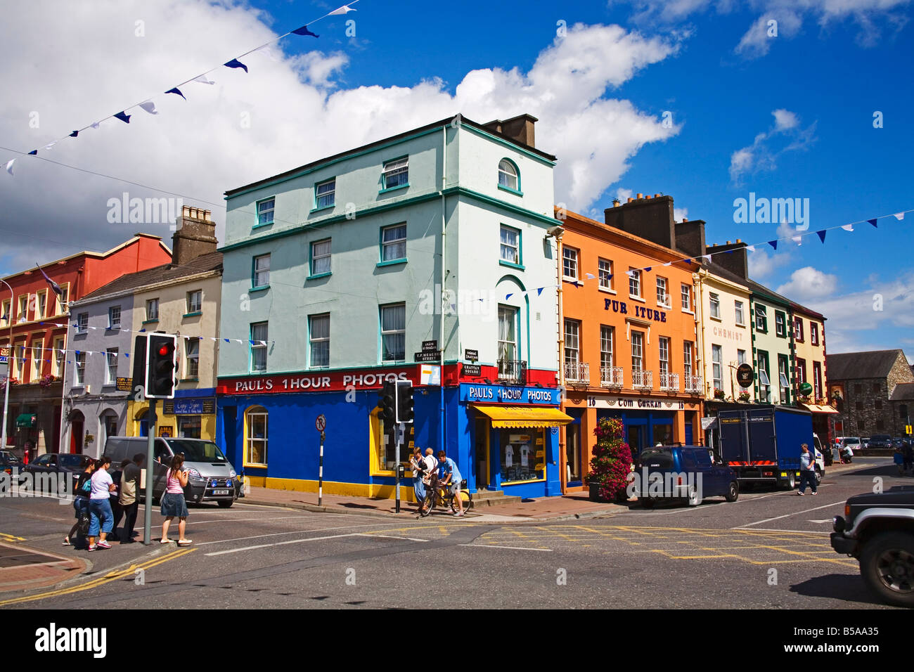
 Grattan SquareVisitor information · 422 yd
 Cunnigar PointHeadland · 579 yd
 Castle (in ruins)Castle, tower house · 631 yd
 Horse-chestnutHorse-chestnut · 2.2 mi