What is recorded here
Situated on the W side of a small N-S fold in a level landscape. The site of the medieval parish church of Rodanstown (ME049-021----) is within an oval graveyard (dims c. 55m N-S; c. 45m E-W) defined by an earthen bank SE-W-NW and by a masonry wall NW-E-SE where it is skirted by a public road. The headstones date largely from c. 1750 to c. 1910 with some newer headstones from the 1970s. The font from this graveyard is now at Milltown (ME017-036----) near Kells. Archaeological testing (20E0681) by D. Shine c. 150m to the NW at the closest point produced no related material (excavations.ie 2020:354).
Compiled by: Michael Moore
Date of upload: 10 July, 2015
The monument record does not grant public access. Check the route and ask the landowner before entering private land.
- What survives
- Recorded monument
Places near here
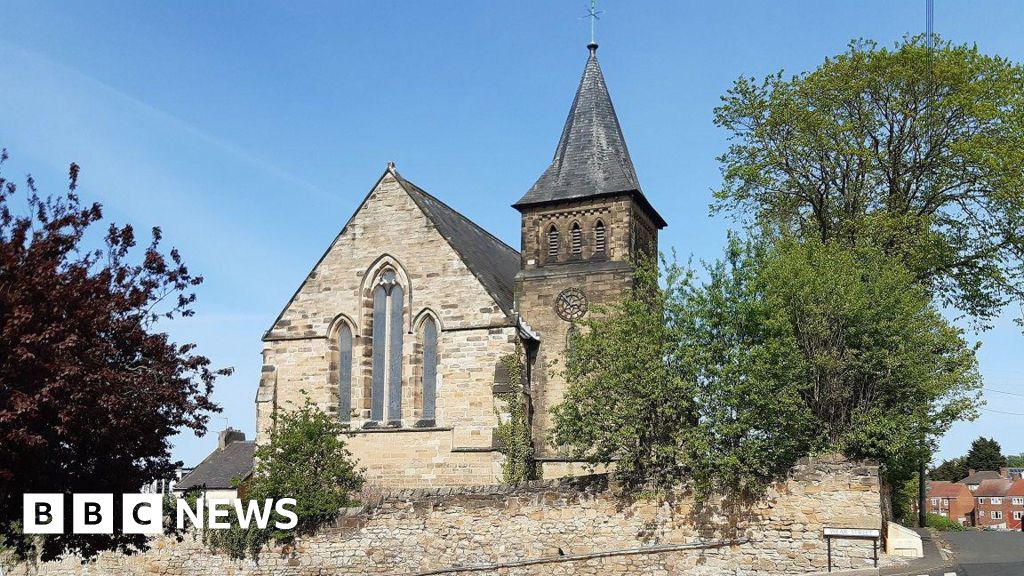 Church (Disused)Church · 9 yd
 Rodanstown fortCastle, motte · 675 yd
 Concentric enclosure in MulhusseyConcentric enclosure · 1370 yd
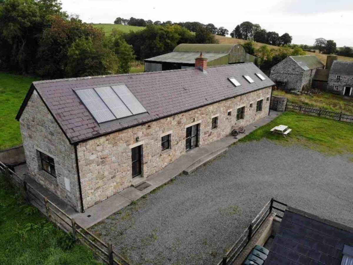 Enclosure in CalgathEnclosure · 1410 yd
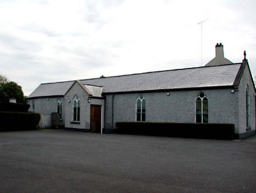 Catholic Church of the Assumptionchurch/chapel · 1.4 mi
 Mulhussy CastleCastle, tower house · 1.5 mi
 Larchil Arcadian GardensHeritage attraction · 2.0 mi
 Amicus AmericanisMemorial · 2.6 mi
 Saint MaryMemorial · 2.6 mi
 Library GardenHeritage attraction · 2.8 mi
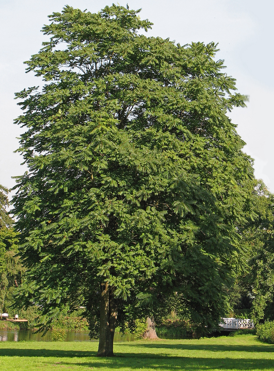 Tree of HeavenTree of Heaven · 2.9 mi
 The OrchardWood · 3.0 mi