What is recorded here
Fairy fort in Barrockstown, County Meath: a grass-covered earthen ring, 37m by 32m, with a narrow entrance at the northeast and a cut drain around part of its outer edge. It sits low in a flat landscape, so the bank and ditch read less like a monument and like a threshold: a small world marked off from the ordinary field. People may have lived there, or kept it empty on purpose, giving the circle back to rain, grass and rumour.
Located in a relatively low-lying level landscape. This is a slightly raised and grass-covered subcircular area (dims 37m N-S; 32m E-W) defined by the slight lip of a grass-covered earthen bank (Wth 5-6m; int. H 0.2m; ext. H 0.9-1.1m) and an external fosse (at E: Wth of top 9m; Wth of base 3m; ext. D 0.3m) that has been re-cut as a drain (at W: Wth of top 4.8m; Wth of base 1m; ext. D 0.7m) S-W-NE. There is an entrance (Wth of base 2m) at NE and there are some bushes on the bank.
The above description is derived from the published 'Archaeological Inventory of County Meath' (Dublin: Stationery Office, 1987). In certain instances the entries have been revised and updated in the light of recent research.
Compiled by: Michael Moore
Date of revision: 27 August 2019
The monument record does not grant public access. Check the route and ask the landowner before entering private land.
- What survives
- Recorded monument
Places near here
 Enclosure in BarrockstownEnclosure · 590 yd
 EnclosureEnclosure, large enclosure · 1228 yd
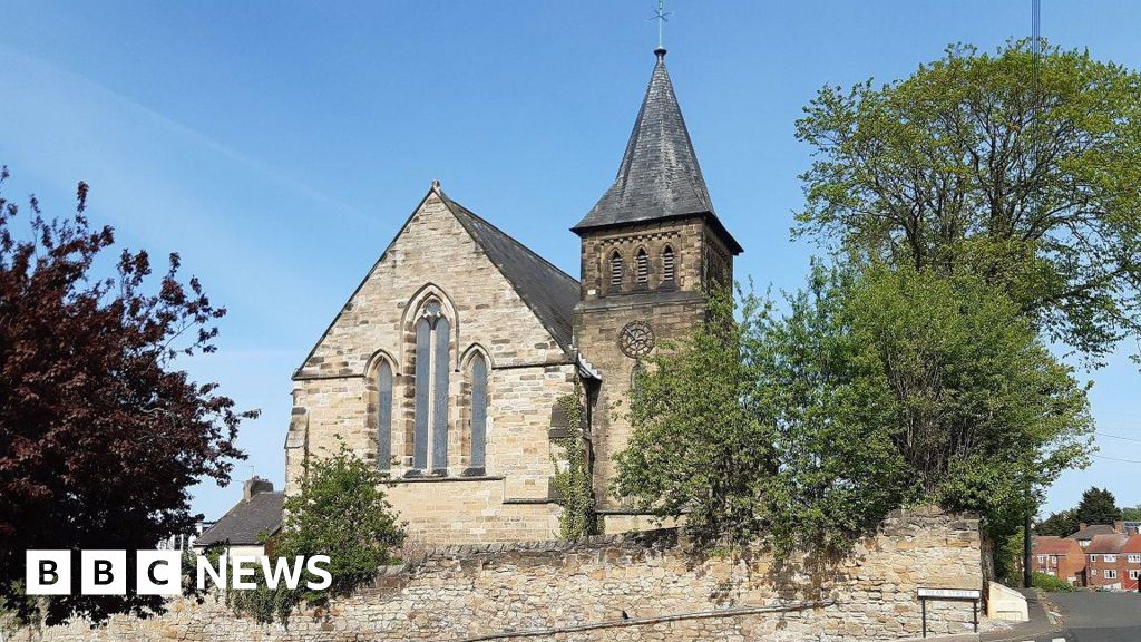 Church (Disused)Church · 1.2 mi
 Church in MoyglareChurch · 1.2 mi
 Mulhussy CastleCastle, tower house · 1.3 mi
 Saint Oliver Plunkett 1625-1681Memorial · 1.4 mi
 Rodanstown fortCastle, motte · 1.5 mi
 Amicus AmericanisMemorial · 2.3 mi
 Library GardenHeritage attraction · 2.5 mi
 Library CatHeritage attraction · 2.5 mi
 Lebanon CedarLebanon Cedar · 2.5 mi
 Common LimeCommon Lime · 2.6 mi