DDiscover AloneMapAbout

Graveyard in Monasterredan

Graveyard
Computer-made picture that does not show Graveyard in MonasterredanNot a photo of this monument
Computer-made picture. It does not show this monument. · Report the wrong picture

What is recorded here

The graveyard is indicated on the 1838 OS 6-inch map as polygonal in plan while on the 1914 OS 6-inch map it is indicated as oval in plan. The remains consist of an oval area (76.4m E-W; 68.7m N-S) enclosed by a mortared stone wall (Wth 0.45m; H 1m). There is an arched gateway at SE, above which is a date plaque…

Read the whole record
The graveyard is indicated on the 1838 OS 6-inch map as polygonal in plan while on the 1914 OS 6-inch map it is indicated as oval in plan. The remains consist of an oval area (76.4m E-W; 68.7m N-S) enclosed by a mortared stone wall (Wth 0.45m; H 1m). There is an arched gateway at SE, above which is a date plaque inscribed '1883'. The headstones are mostly 20th century in date and are accessed by concrete paths. Scattered amongst them are several small uninscribed grave-markers, mostly rectangular though a few are roughly cross-shaped. A graveslab (SL046-014007-) with a simple incised cross on it, which was within the interior, cannot be located. A low stone-built seat (1.5m N-S; 1.26m E-W; H 0.45m), in an area of rough uneven ground close to the enclosing wall at WSW, marks the location of a corn-drying kiln (SL046-014008-), which was found here during a graveyard clean-up in 1985-6. The N half of the interior is level with the external ground level while the S half is raised c. 0.6m above it. The exact location of the site of the church (SL046-014001-) is unknown though the most likely location is the central area, surrounded by a path, where few graves occur (pers. comm. J. Enright). There is a Man-made underground passage (SL046-014004-) in the NW quadrant and a bullaun stone (SL046-014005-) outside the enclosing wall at NNE. A quernstone (SL046-014006-) was also found in the graveyard. In 1836 this graveyard was recorded as 'a burial ground for children, strangers and poor people' (OSL, 235) and was then only in occasional use (OSNB vol. 1, 414).

From the National Monuments Service (Archaeological Survey of Ireland) record SL046-014002

The monument record does not grant public access. Check the route and ask the landowner before entering private land.

What do you know about this place?Tap to add a comment or ask a question

What you write will be public.

Places near here

Photo credits
  • National Inventory of Architectural Heritage
  • Aiden Clarke, Wikimedia Commons · CC BY-SA 2.0
  • GAA.ie; photographer not named, www.gaa.ie
  • Golfing in Ireland; photographer not stated, Source publisher
  • Maker not stated on source page, www.visitgalway.ie
  • Mike Searle, Wikimedia Commons · CC BY-SA 2.0
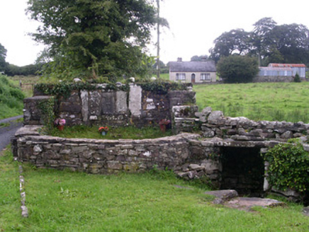
Saint Attracta's WellHoly well · 585 yd

Explorer Tom Saint Attracta's Well in Clogher claims healing powers, but I bet the builder was really thinking about how to signpost…

ToberaraghtHoly well · 586 yd

Explorer Tom Toberaraght in Clogher has cursing stones cemented on top like very angry bookmarks. The hero who saved it probably…
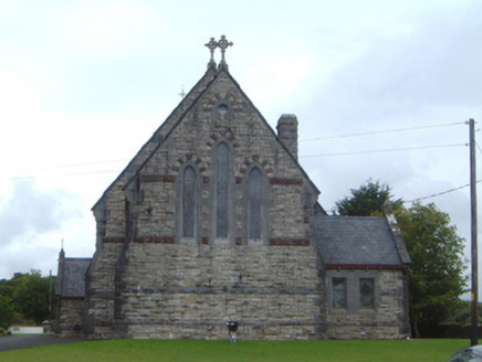
Saint Aidan's Catholic ChurchChurch/chapel · 622 yd

Explorer Tom Saint Aidan's Catholic Church in Monasterredan is all about polychromatic vibes and green slate roofing. It sounds like…
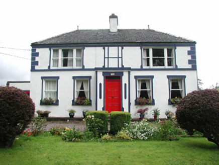
Welcome HillGarda station/constabulary barracks · 640 yd

Explorer Tom Welcome Hill in Clogher has one least favourite visitor: the delivery van. It hates when they park right under its wide…
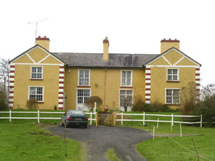
The MansionManse · 823 yd

Explorer Tom The Mansion in Clogher only has one side occupied, which makes it look like it’s half-asleep and waiting for its other…
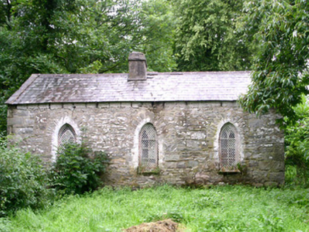
Coolavin HouseGate lodge · 833 yd

Explorer Tom Coolavin House in Clogher bragged about surviving a storm that flattened everything else nearby last winter. The Gothic…
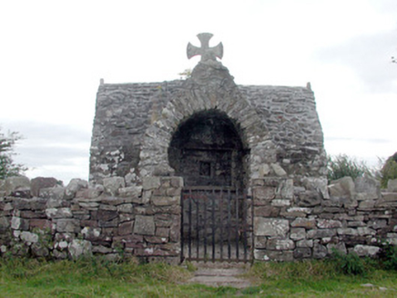
Four AltarsChurch/chapel · 1.7 mi

Explorer Tom Four Altars in Creggan has set its New Year’s resolution to stop being such a prominent landmark on that elevated site…

Ballaghaderreen GAA ParkGAA ground · 4.8 miBallaghaderreen Golf ClubGolf course · 5.4 miGlinsk CastleVisitor attraction · 20 mi

Explorer Tom Glinsk Castle smells like a mix of old books, wet stone, and whatever the ghosts were having for dinner last night…

Bawn in Glinsk (ballymoe By.)Bawn · 20 mi

Explorer Tom Bawn in Glinsk listens to what goes on inside the walls and probably hears the Burkes arguing about who left the light…

CastleCastle, tower house · 20 mi

Explorer Tom Castle in Glinsk is playing hide-and-seek with me. A tale from 1574 says Hubert Burke had it, but he's long gone and so…

More archaeology and monuments in County Sligo · All of County Sligo

Add to this placeAdd a picture Add a detailed tip Add a story

Explore the map1,095,414 places to discover

Next place · or swipeSaint Attracta's Well