What is recorded here
Situated on a gentle W-facing slope. Described in the OS Letters of 1838-40 as a ruined church (WI019-024001-), of which only parts of the S wall and E gable still stood; the remains of a door were visible in the W gable, part of a window survived in the E gable, and there were two small windows in the S wall. They also state that the rectangular graveyard (dims. c. 50m NW-SE; 35m NE-SW) was no longer in use (O'Flanagan 1928, 87). An eighteenth-century headstone occurs inside the E gable of the church.
Date of upload: 29 November 2012
A local ancient tomb; wider significance not recorded.
The monument record does not grant public access. Check the route and ask the landowner before entering private land.
- What survives
- Recorded monument
Places near here
 Church (in Ruins), KilloughterChurch · 12 yd
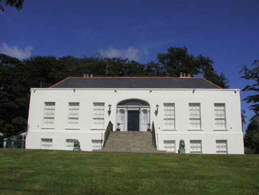 Killoughter Housecountry house · 444 yd
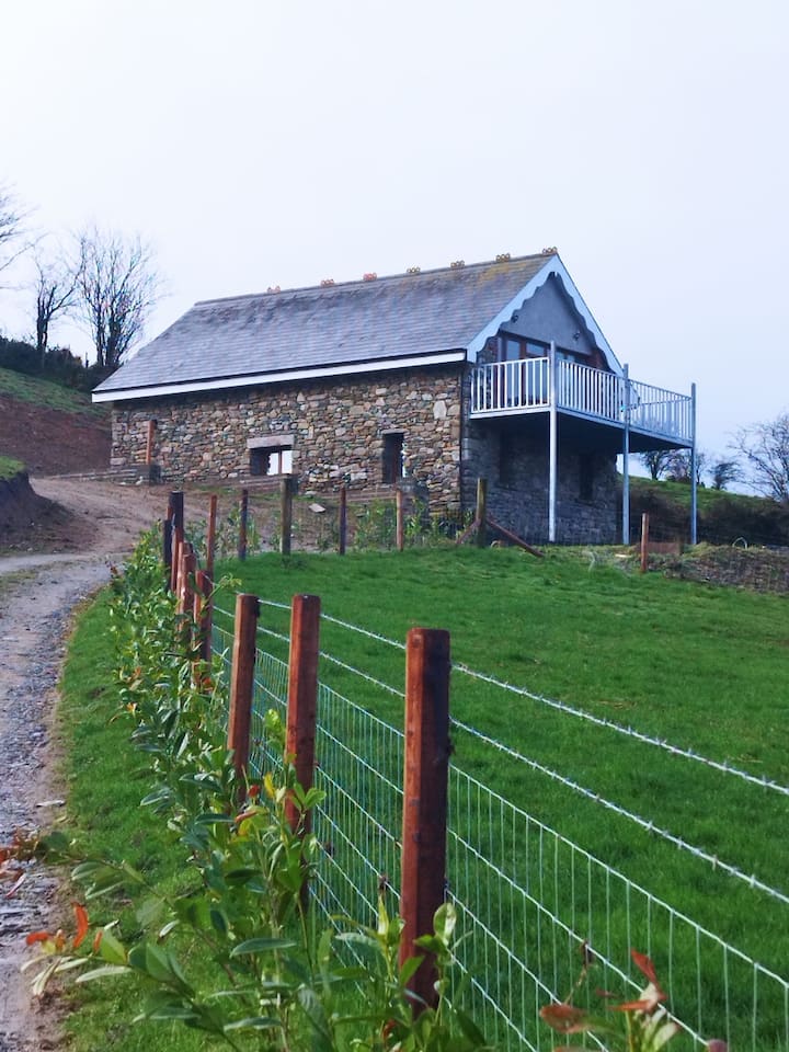 Enclosure in BallyblaEnclosure · 586 yd
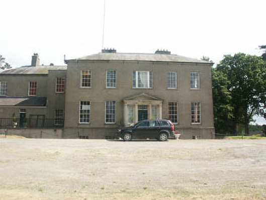 Clonmannan Housecountry house · 1743 yd
 Castle, ringwork in Ballyvolan LowerCastle, ringwork · 1.4 mi
 European Yew, Rossanna, Co. WicklowEuropean Yew · 2.0 mi
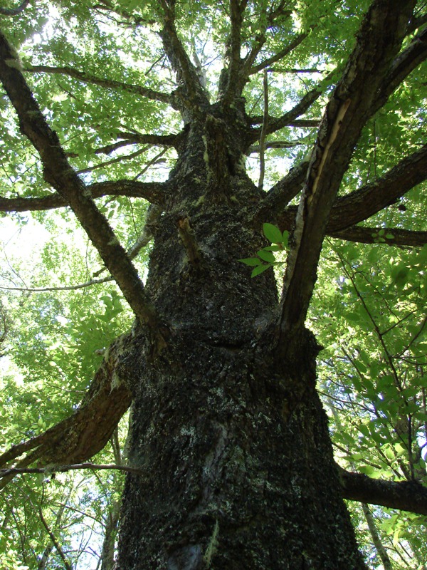 Rauli beech, Mount Usher Gardens, Co. WicklowRauli beech · 2.1 mi
 Castle, unclassified in Milltown NorthCastle, unclassified · 2.8 mi
 Leamore StrandBeach / strand · 3.8 mi
 Devil's Glen WaterfallWaterfall · 4.0 mi
 Glen Beach Cliff WalkWalking route · 4.8 mi
 Carrick MountainMountain / peak · 5.1 mi