
What is recorded here
Situated on a gentle W-facing slope. Described in the OS Letters as a ruined church (dims. c. 9.6m x 4.2m), of which only parts of the S wall and E gable still stood; the remains of a door were visible in the W gable, part of a window survived in the E gable, and there were two small windows in the S wall. They also state that the rectangular graveyard (WI019-024002-) was no longer in use (O'Flanagan 1928, 87). Portions of a small, extremely overgrown, rectangular structure survive, presumably representing the church (dims. c. 8.9m x 5.4m; wall T c. 0.8-1m). It appears to have had a W door, but no other architectural features are visible. An eighteenth-century headstone occurs inside the E gable.
According to Swan (1996, 7) ‘this site is also identified by Ronan (ibid) as an early site. Price (1967, 417) suggests that it may date from the period of Christianisation of the Scandinavian settlers of this region and may thus have been associated with the major settlement of Wicklow during this period. No saint's name can readily be associated with this site but it is also suggested that the name Kiladerrig which occurs in the adjacent townland, may have been an earlier name for this site. The ancient name of Kilbla (now Ballybla) is also strongly associated with this district and is probably derived from another early British Saint, Blá or Bláan, whose name survived in the present townland of that name (ibid, 409). It is not unlikely that all three names refer to the same site, now represented by the ruined church and graveyard of Killoughter, since all three occur within a few hundred metres of each other’.
Compiled by: Caimin O'Brien
Date of upload: 29 November 2012
A local church or high cross; wider significance not recorded.
The monument record does not grant public access. Check the route and ask the landowner before entering private land.
- What survives
- Recorded monument
Places near here
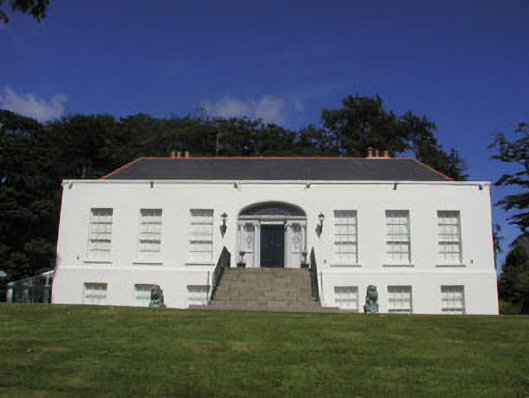 Killoughter Housecountry house · 436 yd
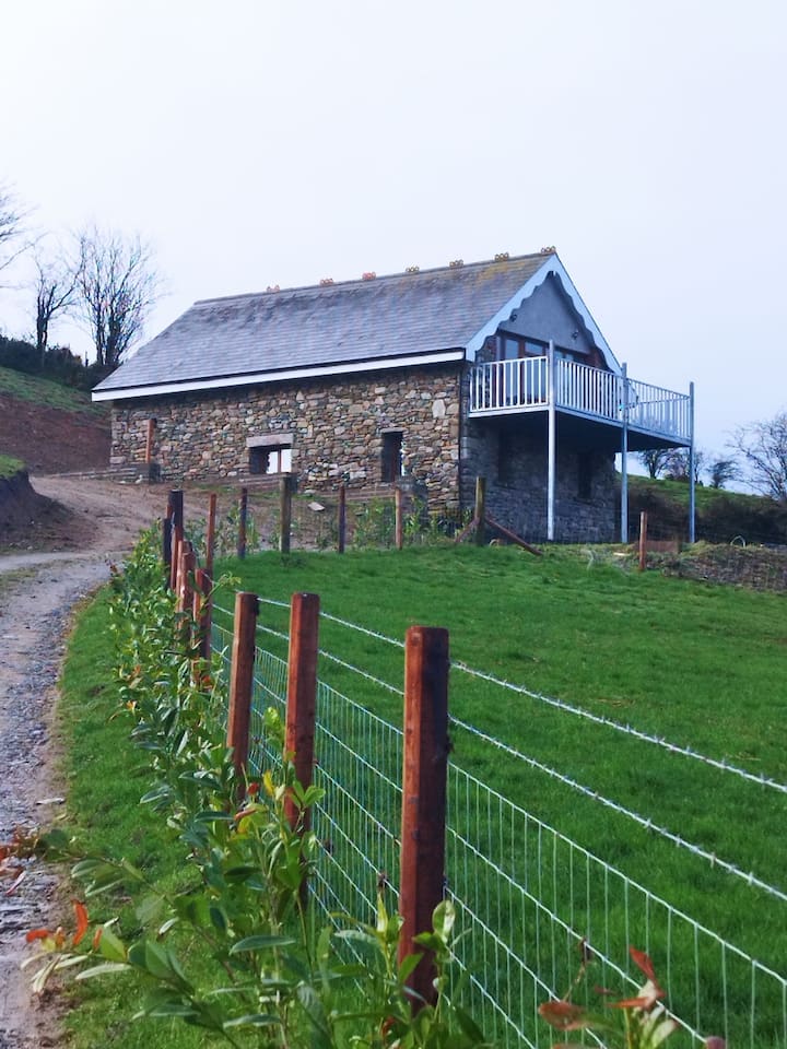 Enclosure in BallyblaEnclosure · 583 yd
 Enclosure in KilloughterEnclosure · 1069 yd
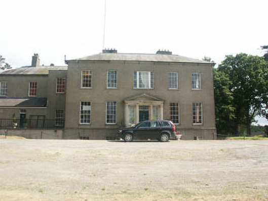 Clonmannan Housecountry house · 1755 yd
 CastleCastle, ringwork · 1.4 mi
 European YewEuropean Yew · 2.0 mi
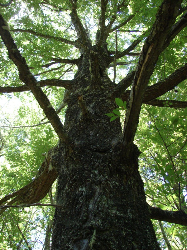 Rauli beechRauli beech · 2.1 mi
 Castle (in Ruins)Castle, ringwork · 2.9 mi
 Leamore StrandBeach / strand · 3.8 mi
 Devil's Glen WaterfallWaterfall · 4.0 mi
 Glen Beach Cliff WalkWalking route · 4.8 mi
 Carrick MountainMountain / peak · 5.1 mi
Other information
Photo: Credit not shown in the picture search · Rights wording not checked; contact us if this picture should be removed