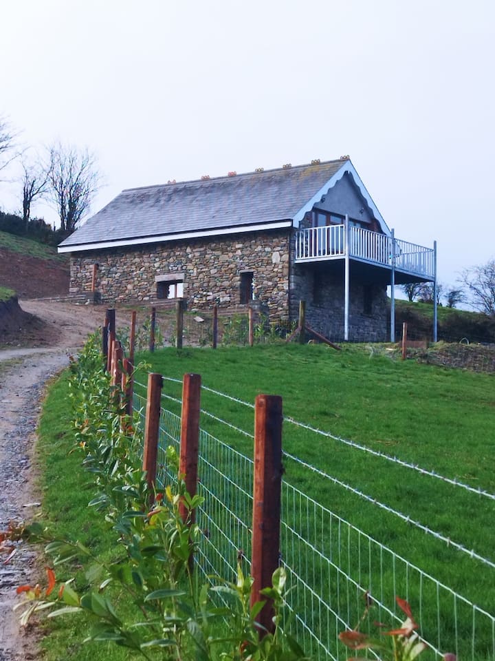
What is recorded here
Situated on a gentle E-facing slope. Subcircular enclosure (diam. c. 30m) visible as low earthwork on Ordnance Survey aerial photograph. (Swan 1996, fig. 6)
The above description is derived from the published 'Archaeological Inventory of County Wicklow' (Dublin: Stationery Office, 1997). In certain instances the entries have been revised and updated in the light of recent research.
Date of upload/revision: 29 November 2012
See linked image with aerial photograph taken from Swan, D. L. 1996 Archaeological assessment of area of proposed development at Killoughter, Co. Wicklow. Unpublished report. National Monuments Section, Heritage and Planning Division, Department of the Environment, Heritage and Local Government, Dublin.
A local fairy fort (ringfort/rath); wider significance not recorded.
The monument record does not grant public access. Check the route and ask the landowner before entering private land.
- What survives
- Recorded monument
Places near here
 Church (in Ruins)Church · 583 yd
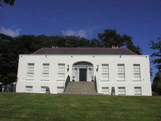 Killoughter Housecountry house · 894 yd
 Enclosure in Grange SouthEnclosure · 1330 yd
 Enclosure in KilloughterEnclosure · 1611 yd
 CastleCastle, ringwork · 1.3 mi
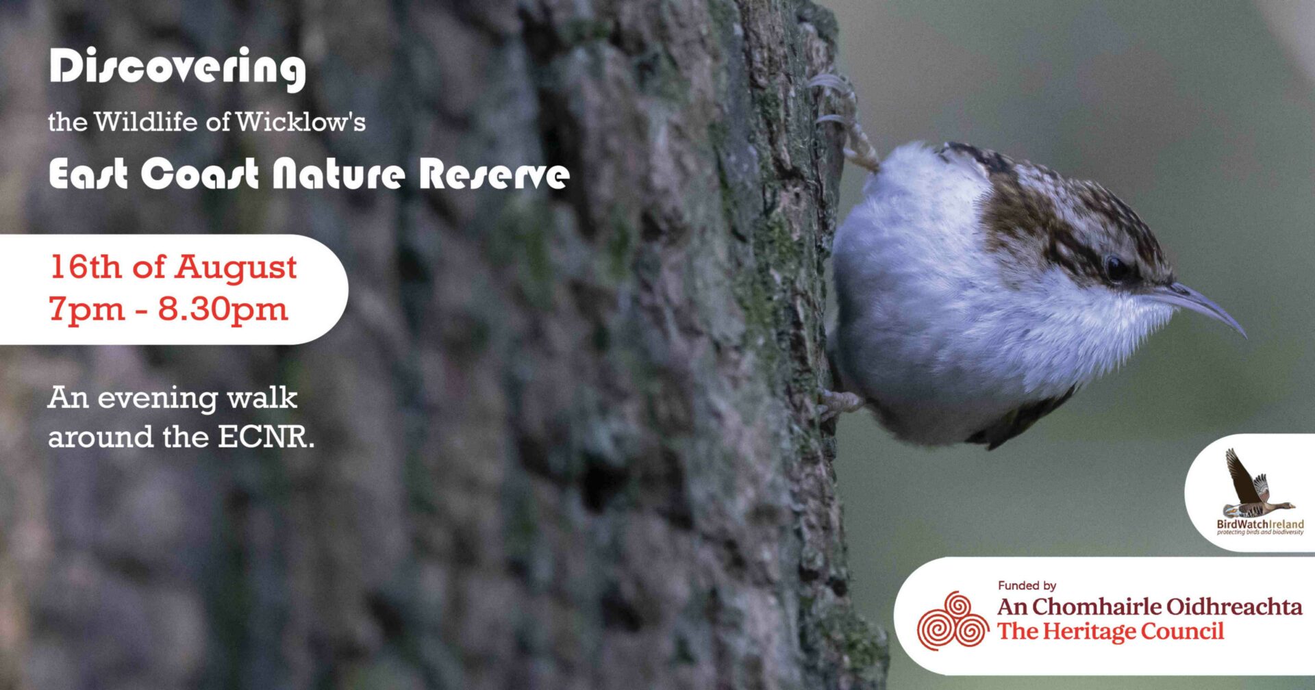 East Coast Nature ReserveNature reserve · 2.3 mi
 Sessile OakSessile Oak · 2.4 mi
 Castle (in Ruins)Castle, ringwork · 2.7 mi
 Leamore StrandBeach / strand · 3.5 mi
 Devil's Glen WaterfallWaterfall · 4.3 mi
 Glen Beach Cliff WalkWalking route · 4.9 mi
 Carrick MountainMountain / peak · 5.4 mi
Other information
Photo: Credit not shown in the picture search · Rights wording not checked; contact us if this picture should be removed