What is recorded here
Marked 'Grave Yd. (Disused)' on the 1908 OS 6-inch map and indicated as a sub-rectangular shaped enclosure (map dims. c. 50m E-W; 20m N-S). Remains of a late medieval church (LH014-023001-) at NE.
Compiled by: Claire Breen
Date of upload: 30 May 2012
The monument record does not grant public access. Check the route and ask the landowner before entering private land.
- What survives
- Recorded monument
Places near here
 Mapastown Church (in ruins)Church · 16 yd
 MoatCastle, motte and bailey · 201 yd
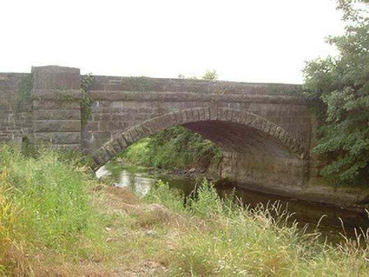 Mapastown Bridgebridge · 273 yd
 Derrycammagh FortArchaeological place · 1000 yd
 EnclosureEnclosure, large enclosure · 1440 yd
 Rabbit BurrowWood · 1.3 mi
 Long PlantationForest · 1.8 mi
 Roodstown CastleCastle, tower house · 1.8 mi
 Graveyard in StickillinGraveyard · 2.9 mi
 Graveyard in Richardstown (ardee By., Richardstown Par.)Graveyard · 3.4 mi
 Drummeenagh HillMountain / peak · 4.3 mi
 Mount OrielMountain / peak · 7.4 mi