
What is recorded here
From the National Monuments Service (Archaeological Survey of Ireland) record TS046-039002
Places near here
Photo credits
- National Inventory of Architectural Heritage
- Mike Searle, Geograph · CC BY-SA 2.0
- Mike Searle, Wikimedia Commons · CC BY-SA 2.0
- Jonathan Thacker, Wikimedia Commons · CC BY-SA 2.0
- Steven Brown, Geograph · Creative Commons Attribution-ShareAlike 2.0
- Ronnie Nijboer, Wikimedia Commons · CC0
Explorer Tom Enclosure in Clogher has a family tree that’s mostly made up of guesses and a castle nearby that judges it for being faint. It sits on a ridge with good views, but you need an aerial photo to prove it was ever there. Bring your own legend, I've run out.
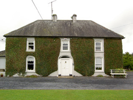 Clogher HouseHouse · 624 yd
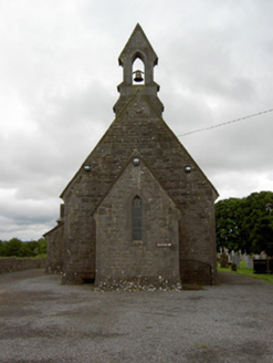 Saint John's Church (Clonoulty)Church/chapel · 1.1 miClonoulty HillMountain / peak · 1.1 miDrum WoodWood · 2.1 mi
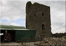 Nodstown CastleCastle, tower house · 2.6 mi
_-_geograph.org.uk_-_4568823.jpg/250px-Castles_of_Munster,_Ballagh,_Tipperary_(2)_-_geograph.org.uk_-_4568823.jpg "Photo: Mike Searle, Wikimedia Commons · CC BY-SA 2.0") Ballagh CastleCastle, tower house · 3.2 mi
Ballagh CastleCastle, tower house · 3.2 miExplorer Tom Ballagh Castle is missing its north and east walls because the weather filed a formal complaint about it standing there looking smug. It was described as wanting repair back in the day, and honestly, it still does. Bring wellies and low expectations, leave delighted.
 Holycross AbbeyVisitor attraction · 3.5 mi
 Grave YardGraveyard · 3.7 mi
Explorer Tom Graveyard in Ardmayle claims a local poet fell into the ditch nearby just to get a better angle for his next ballad. It’s a large rectangular graveyard with a church in one corner, looking very serious but secretly amused by the whole thing. Tell the kids it's a castle. Close enough.
Cormackstown Heritage CentreMuseum · 4.4 miKillough Hill (site of)Mountain / peak · 4.4 mi Wych Elm5.1 mi
More archaeology and monuments in County Tipperary · All of County Tipperary

What do you know about this place?Tap to add a comment or ask a question