What is recorded here
On a gentle SE-facing slope. Associated with a church (LF024-007001-) that is located in its E half. This small, rectangular graveyard (54m E-W; 28m N-S) is enclosed by a 19th-century stone wall and contains memorials dating from the 18th to the 20th centuries. Access is via a wrought-iron gate and a stile in the centre of the W wall. It is no longer in use. (ITA Survey 1944; Lennon 2005)
Compiled by: Patrick F. O'Donovan, Caimin O'Brien
Date of upload: 4 June 2013
The monument record does not grant public access. Check the route and ask the landowner before entering private land.
- What survives
- Recorded monument
Places near here
 Church (in Ruins)Church · 21 yd
 Enclosure in AgharraEnclosure · 616 yd
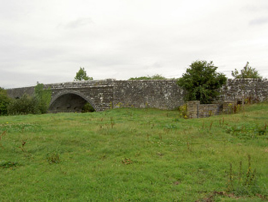 Ballynacarrow Bridgebridge · 878 yd
 Mound in CastlewilderMound · 1521 yd
 European BeechEuropean Beech · 1.3 mi
 Bawn in EmperBawn · 1.5 mi
 Common AlderCommon Alder · 1.6 mi
 Abbeyshrule AbbeyRuins · 1.9 mi
 Site of CastleCastle, unclassified · 2.6 mi
 Goldsmith Birthplace, PallasVisitor information · 4.0 mi
 Craft WorkshopHeritage attraction · 4.4 mi
 Guest ServicesVisitor information · 4.4 mi