
What is recorded here
On a gentle SE-facing slope, within the E half of a graveyard (LF024-007002-). In 1593 John Lye was granted a 21 year lease of the 'church of Agherie' (Nicholls 1994, vol. 3, 218). Depicted on an early 17th-century map of Shrule barony (BL, Cotton MS Augustus I.ii.26) as the church of 'Lissevarrow'. Two phases of construction are evident in this church (ext. dims. 18.15m E-W; 7m N-S). The earlier phase dates to the early medieval period and comprises the W half of the church (ext. dims. 9.85m E-W; wall T 0.85m) where cyclopean masonry, similar in style to the churches at Ardagh (LF019-050001-) and Cloondara (LF013-018----), is evident. Access is gained via a lintelled doorway in the W gable. High up in the N and S walls are broken out windows. The E window has been blocked up and a doorway that was subsequently inserted into the wall gives access to a late-medieval extension (L 8.3m; wall T 0.95m) that must have served as a chancel. Its E gable wall has a marked base-batter and contains a single-light, 16th-century window. In the S wall, close to the E gable, are two aumbries and a small, flat-headed, single-light window.
In the N wall, at the W end of chancel, a relieving arch indicates the former presence of a doorway that was subsequently blocked up. (ITA Survey 1944; Leask 1955, vol. 1, 58)
Compiled by: Caimin O'Brien
Date of upload: 4 June 2013
The church at Agharra was likely built in the early 17th century, possibly by the local community or a patron associated with John Lye, who held a lease of the "church of Agherie" in 1593. Its style and dedication are not clearly recorded, but its location within a graveyard suggests it was a place of Christian worship, with significance to the local area as a religious and burial site.
The monument record does not grant public access. Check the route and ask the landowner before entering private land.
- What survives
- Recorded monument
Places near here
 Enclosure in AgharraEnclosure · 636 yd
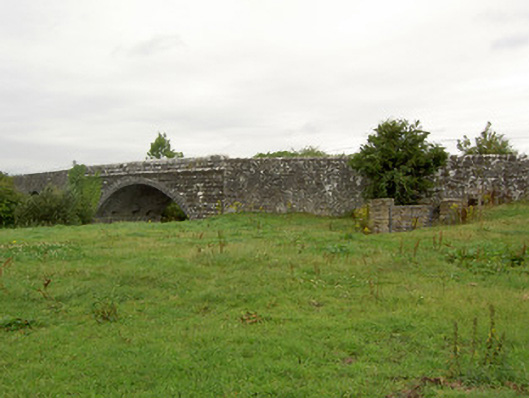 Ballynacarrow Bridgebridge · 861 yd
 Bog Bridgebridge · 1253 yd
 Mound in CastlewilderMound · 1541 yd
 European BeechEuropean Beech · 1.3 mi
 Bawn in EmperBawn · 1.5 mi
 Common AlderCommon Alder · 1.6 mi
 Abbeyshrule AbbeyRuins · 1.9 mi
 Site of CastleCastle, unclassified · 2.6 mi
 Goldsmith Birthplace, PallasVisitor information · 4.0 mi
 Craft WorkshopHeritage attraction · 4.4 mi
 Guest ServicesVisitor information · 4.4 mi
Other information
Photo: Credit not shown in the picture search · Rights wording not checked; contact us if this picture should be removed