What is recorded here
Situated on low natural hillock in pasture with ringfort (WM010-001----) and area marked as 'Old Town' on OS 6-inch map 300m to SSW. Inny River marking boundary with County Longford 800m to N. Low earthworks belonging to the levelled bawn of Emper Castle (WM010-002----) were described in the Schools' Collection (1937-39) as following; 'Around the castle there still remains some of the fortifications also a cave and outside that again an immense graveyard where some bishops are buried. Adjoining the castle is an old fort which is of Danish origin' (The Schools' Collection, Volume 0740, page 003). The fragmentary remains of Emper Castle (WM010-002---) stand on the SW side of a rectangular shaped enclosure or bawn which is defined by the remains of a low earthen bank visible from NNW-N-E-S with a shallow external fosse at. Low wall footings overlie the perimeter of the enclosure on the SE sides. The remains of a small rectangular building can be distinguished on the line of the fosse. There appears to have been a building immediately to the SE of the castle, however, the remains of this are very fragmentary. To the SE of the main circular enclosure is a smaller rectangular enclosure with possible traces of a second small rectangular enclosure to the NE of it. To the NW of the main enclosure is a circular area bounded from S-W-WNW by a low bank of earth & stones with a shallow external fosse. These earthworks to the NW, N, E and SE of the castle are clearly visible on Digital Globe aerial photograph taken November 2011 and probably represents the remains of a levelled bawn.
Situated on low natural hillock in pasture with ringfort (WM010-001----) and area marked as 'Old Town' on OS 6-inch map 300m to SSW. Inny River marking boundary with County Longford 800m to N. Low earthworks belonging to the levelled bawn of Emper Castle (WM010-002----) were described in the Schools' Collection (1937-39) as following; 'Around the castle there still remains some of the fortifications also a cave…
From the National Monuments Service (Archaeological Survey of Ireland) record WM010-002001
The monument record does not grant public access. Check the route and ask the landowner before entering private land.
- What survives
- Recorded monument
Places near here
Hachured, RathduffFairy fort / earthen ringfort · 1369 yd Newtown HouseHouse · 1.2 miNewtown HouseOutbuilding · 1.2 miCommon Alder1.4 miSite of CastleCastle, unclassified · 1.7 miPedunculate Oak1.9 miAbbeyshrule AbbeyRuins · 3.4 miCastleCastle, motte · 5.2 miGoldsmith Birthplace, PallasVisitor information · 5.5 miCraft WorkshopHeritage attraction · 5.9 miGuest ServicesVisitor information · 5.9 miArdagh Clock TowerMonument · 6.1 mi
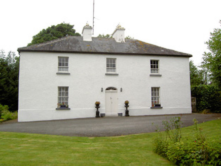 Newtown HouseHouse · 1.2 mi
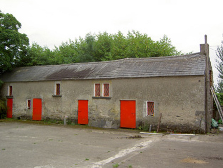 Newtown HouseOutbuilding · 1.2 mi
 Common Alder1.4 miSite of CastleCastle, unclassified · 1.7 mi
 Pedunculate Oak1.9 mi
 Abbeyshrule AbbeyRuins · 3.4 mi
 CastleCastle, motte · 5.2 miGoldsmith Birthplace, PallasVisitor information · 5.5 miCraft WorkshopHeritage attraction · 5.9 miGuest ServicesVisitor information · 5.9 mi
 Ardagh Clock TowerMonument · 6.1 mi
Pictures: National Inventory of Architectural Heritage; Willow, Wikimedia Commons · CC BY 2.5; Algirdas at Lithuanian Wikipedia, Wikimedia Commons · Public domain; Jamesco101, Wikimedia Commons · CC BY-SA 4.0; Richard Webb, Geograph · CC BY-SA 2.0; SE Keenan, Wikimedia Commons · CC BY-SA 4.0
More castles and forts in County Westmeath · All of County Westmeath
What do you know about this place?