What is recorded here
Situated on NE facing slope of a low natural ridge with good views in all directions. Conlanstown House immediately to S with area marked as Shanbally 230m to NW. Annotated as ‘Site of Castle’ on the 1837 ed. OS 6-inch map where it is shown standing on a circular-shaped mound. On this map a Trig. Station marking the spot height of 264 ft. appears to mark the site of the castle. A low semi-circular-shaped scarp (diam. 33m NW-SE) visible from NW-N-NE is all remains of this levelled castle site which appears to have stood on top of a low flat-topped mound.
Situated on NE facing slope of a low natural ridge with good views in all directions. Conlanstown House immediately to S with area marked as Shanbally 230m to NW. Annotated as ‘Site of Castle’ on the 1837 ed. OS 6-inch map where it is shown standing on a circular-shaped mound. On this map a Trig. Station marking the spot height of 264 ft. appears to mark the site of the castle. A low semi-circular-shaped scarp…
From the National Monuments Service (Archaeological Survey of Ireland) record WM010-013
The monument record does not grant public access. Check the route and ask the landowner before entering private land.
- What survives
- Recorded monument
Places near here
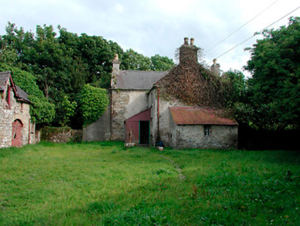 farm house, farmyard complex463 yd
 Rock BrookCountry house · 1087 yd
 36th LockLock · 1451 yd
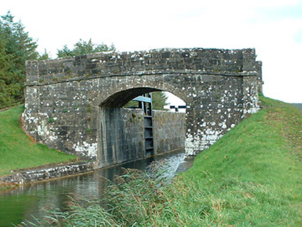 bridge1458 yd
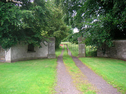 Rock BrookGate lodge · 1462 yd
 Horse-chestnut1.8 mi
 Common Alder3.1 mi
 Abbeyshrule AbbeyRuins · 4.3 mi
 CastleCastle, motte · 5.3 mi
 Coolamber CastleHouse, fortified house · 8.7 mi
 Tullynally CastleCastle · 11 mi
 First World War MemorialMemorial · 14 mi
Pictures: National Inventory of Architectural Heritage; JP, Wikimedia Commons · CC BY-SA 2.0; Stephan van Helden, Wikimedia Commons · CC BY-SA 4.0; Willow, Wikimedia Commons · CC BY 2.5; Jamesco101, Wikimedia Commons · CC BY-SA 4.0; Richard Webb, Geograph · CC BY-SA 2.0; Charles T. G. Clarke, Wikimedia Commons · CC BY-SA 4.0; Peter Gavigan, Wikimedia Commons · CC BY-SA 3.0; 瑞丽江的河水, Wikimedia Commons · CC BY-SA 4.0
More castles and forts in County Westmeath · All of County Westmeath
What do you know about this place?