What is recorded here
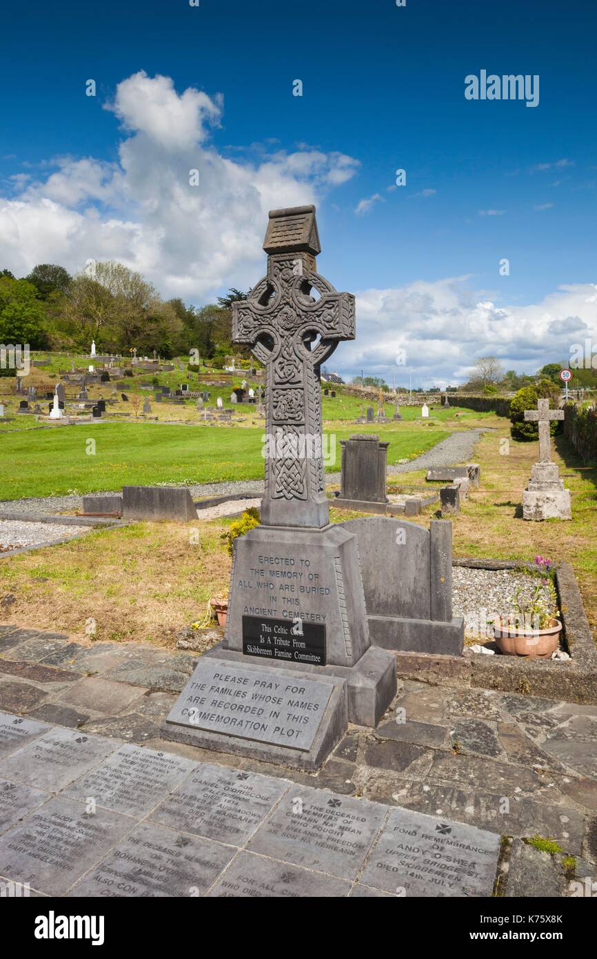
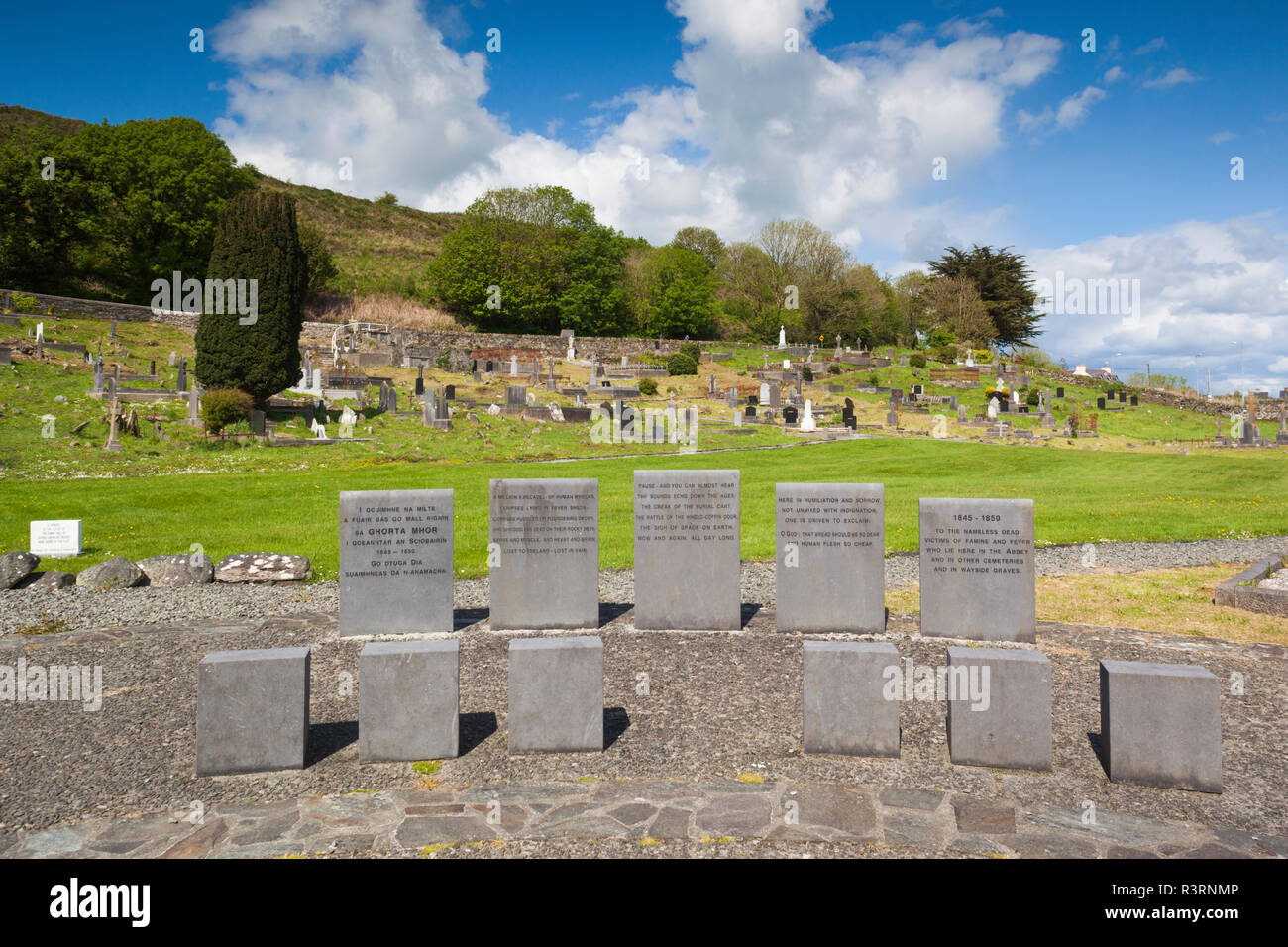
On N shore of Ilen river estuary. Oblong area (extended to E in 19th century) with a large number of 19th and 20th century headstones; also some chest tombs. Famine plot in SW quadrant adjacent to modern keepers house now abandoned. Ruins of Abbeystrowry church (CO141-084002-) near W end.
The above description is derived from the published 'Archaeological Inventory of County Cork. Volume 1: West Cork' (Dublin: Stationery Office, 1992). In certain instances the entries have been revised and updated in the light of recent research.
Date of upload/revision: 14 January 2009
The monument record does not grant public access. Check the route and ask the landowner before entering private land.
- What survives
- Recorded monument
Places near here
 Abbey Strowry (in Ruins)Church · 10 yd
 New Bridgebridge · 237 yd
 Earthwork in AbbeystrowryEarthwork · 617 yd
 Enclosure in AbbeystrowryEnclosure · 948 yd
 Heritage CentreMuseum · 1257 yd
 Bishop MahonyMemorial · 1.0 mi
 Wild Atlantic WayVisitor information · 1.1 mi
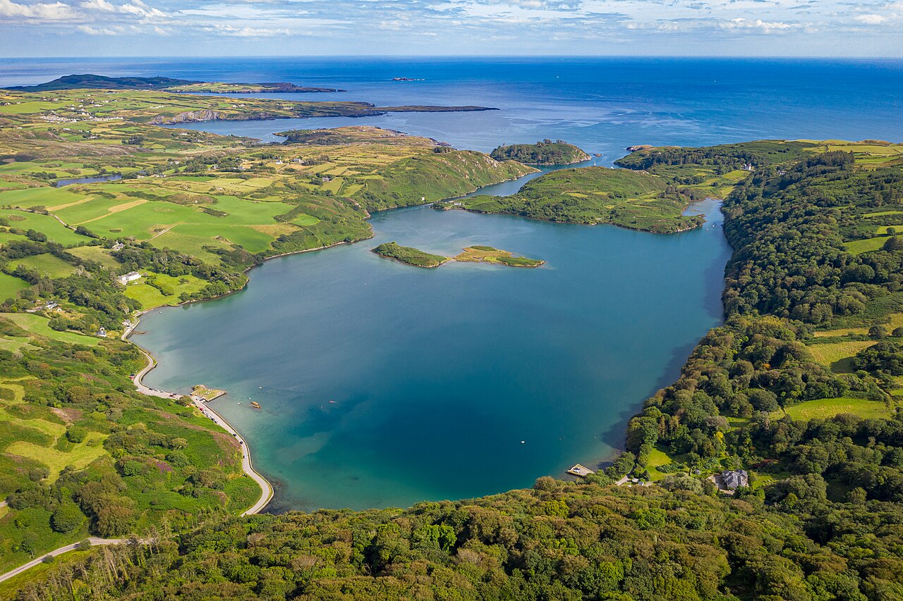 Lough HyneVisitor information · 1.4 mi
 Site of CastleCastle, unclassified · 1.5 mi
 Coolngrane Fairy FortFort · 1.8 mi
 Monterey CypressMonterey Cypress · 2.7 mi
 KnockomaghMountain / peak · 3.2 mi