DDiscover AloneMapAbout

Grave Yard MA039-107---- in Tonybaun

Children's burial ground
Computer-made picture that does not show GraveyardNot a photo of this monument
Computer-made picture. It does not show this monument. · Report the wrong picture

The monument record does not grant public access. Check the route and ask the landowner before entering private land.

Official monument number
MA039-107----
What do you know about this place?Tap to add a comment or ask a question

What you write will be public.

What is recorded here

Located on a slight E-facing slope, 100m W of the River Moy. This children’s burial ground is indicated on the 1838 O 6-inch map as ‘Grave Yard’ and on the 1930 edition as ‘Children’s Burial Gd.’; it is depicted on both editions as a rectangular area, bordered by a main road on the W side. In the 1838 OS Name Books…

Read the whole record
Located on a slight E-facing slope, 100m W of the River Moy. This children’s burial ground is indicated on the 1838 O 6-inch map as ‘Grave Yard’ and on the 1930 edition as ‘Children’s Burial Gd.’; it is depicted on both editions as a rectangular area, bordered by a main road on the W side. In the 1838 OS Name Books (no. 16) it is recorded as ‘a small graveyard for still-born and unbaptized babies’. According to local information, it continued in use as a children’s burial ground up to the mid-20th century, and was also said to have been used for Famine burials. When inspected in 1996 it was evident as a slightly raised, rectangular area (int. 17.5m E–W; 14.5m N–S) defined on the N and E sides by low, ruined remnants of a stone wall/scarp (ext. H 0.6m), and on the W and the S sides by field walls. The W wall was flanked by the existing Ballina-Foxford road, N26. The stone scarp on the E side had a low internal rim (W c. 2m), with a row of set stones on its inner edge. The interior had an uneven surface, densely scattered with small and medium-sized stones, with a few upright stones evident. It was largely concealed by overgrowth; hawthorn and sycamore trees grew around the perimeter and within the interior area. In 2003 it was fully excavated (03E0139) in advance of a realignment of the N26 road (Nolan 2008, 89-101). The excavation revealed that the children’s burial ground, which encompassed a rectangular area (ext. 17m N-S; 22m E-W) overlay a much earlier burial ground (MA039-107003-), which was established in the late 15th-century. The existing enclosing walls, most likely built in the early 1800’s, had slightly enlarged the earlier burial ground: they were built 1-2m outside an earlier enclosing wall, which was on a slightly different axis. The uppermost or surface level consisted of a dense concentration of roughly rectangular stone grave settings, one hundred in total. The best preserved examples had a regular rectangular outline, marked by uniform-sized stones, with the head (west) and foot (east) marked by large stones laid flat, but there were also less formal settings, consisting of loose roughly rectangular piles of small stones. Beneath these surface grave outlines, grave-cuts were not clearly defined, and the layout of burials proved complex and irregular; some skeletons had largely decayed away, and others were disturbed by later graves. The stone grave settings and the uppermost layers of burials related to the use of the burial ground in the modern era as a children’s burial ground. The skeletal remains of 181 children and adolescents were found; the majority (147) were infants of less than 2 years. Three sets of twins were found. Some infants were interred in coffins, small wooden boxes held together by iron nails; in many instances the coffins had decayed, the presence of the nails the only proof that they had existed. Shroud pins, made of copper wire, accompanied twenty seven burials. (Nolan 2008, 89-101). Underlying these burials, there was a layer of burials belonged to the earlier burial ground (MA039-107004- ); no infants were found at that level. A leacht (MA039-107002-), a small stone-built altar-like structure, was constructed in the W half the burial ground, predating its use for children’s burials. Following the excavation, the skeletal remains were reburied with full funeral rites in the parish graveyard (MA039-053002-) at Ballynahaglish.

From the National Monuments Service (Archaeological Survey of Ireland) record MA039-107

Places near here

Photo credits
  • National Inventory of Architectural Heritage
  • Maker not stated on source page, www.joinmychurch.com
  • Maker not stated on source page, tr.pinterest.com
  • Maker not stated on source page, ru.wikipedia.org
  • Maker not stated on source page, commons.wikimedia.org
  • Knockmore GAA Club via Smart Lotto; individual photographer not stated, smartlotto.ie
  • Golfing in Ireland; photographer not stated, Source publisher
  • Maker not stated on source page, www.pinterest.com
  • Maker not stated on source page, en.wikipedia.org
  • Maker not stated on source page, ar.pinterest.com
  • Maker not stated on source page, www.alamy.com
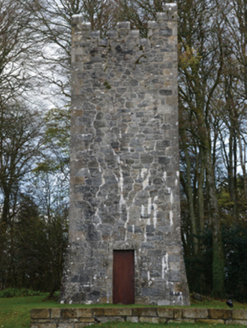
Mount FalconBuilding misc · 629 yd

Explorer Tom Mount Falcon is a faux Irish tower house water tower, which is basically a building pretending to be a castle but it’s…

Church in TonybaunChurch · 735 yd

Explorer Tom Church in Tonybaun is the ultimate shortcut that never actually gets you anywhere, like trying to find a needle in a…

Standing stone in DrumrevaghStanding stone · 1143 yd

Explorer Tom Standing stone in Drumrevagh would post a selfie and caption it 'Still standing, you lot are crumbling.' It’s the…

Enclosure in Ballymacredmond (tirawley By., Ballynahaglish Par.)Enclosure · 1425 yd

Explorer Tom Enclosure in Ballymacredmond ended up in the wrong place because someone misplaced the garden wall and thought this…
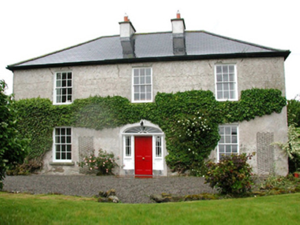
Barnfield HouseFarm house · 1.1 mi

Explorer Tom Barnfield House in Gortaskibbole is a Georgian farmhouse that thinks it’s much grander than it actually is, which is…

Inscribed stone in CorroyInscribed stone · 1.2 mi

Explorer Tom Inscribed stone in Corroy was once ruled by a goat named Gerald who wore a tiny crown. The stone still has faint hoof…
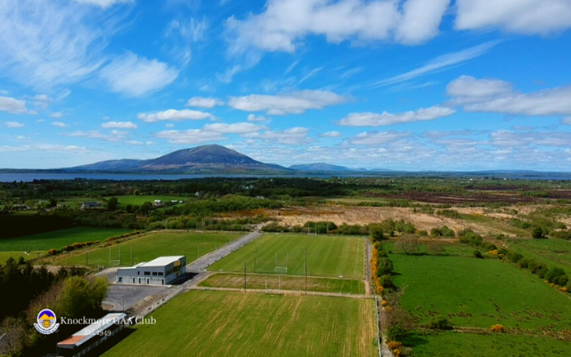
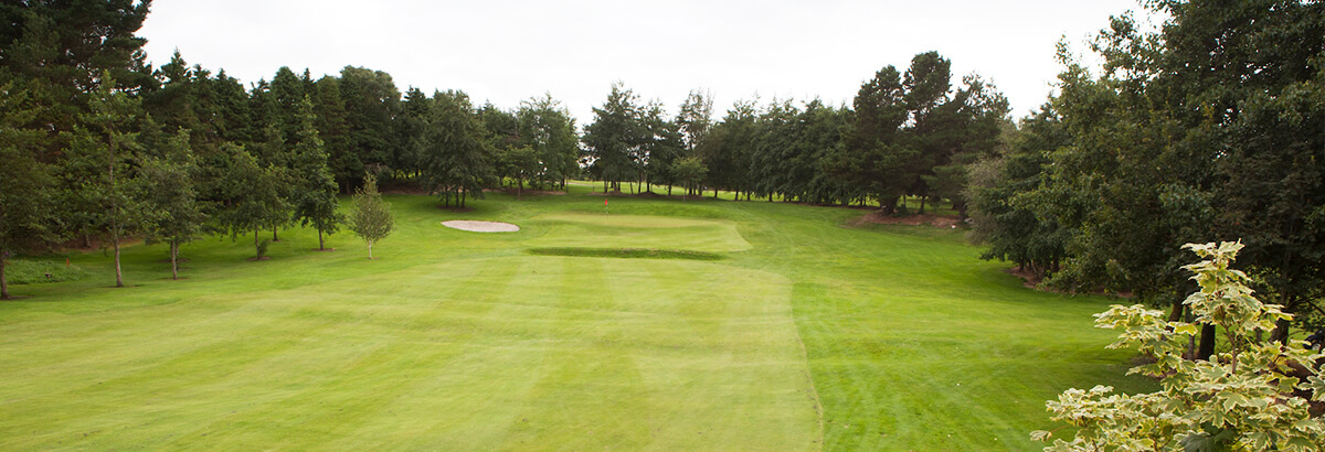
Knockmore, Knockmore GAAGAA ground · 2.3 miBallina Golf ClubGolf course · 3.8 miInishlee IslandIslet · 4.6 mi

Explorer Tom Inishlee Island refuses to fall down because it’s too stubborn to admit it’s tired. It thinks gravity is just a…

Castle KellyArchaeological place · 5.0 mi

Explorer Tom Castle Kelly in County Mayo is an archaeological site that must have taken a ridiculous number of cups of tea to build.…

FreaghillanIslet · 5.2 mi

Explorer Tom Freaghillan is secretly proud of a single potato that grew on its rocks once, treating it like a national treasure ever…

CastleHouse, fortified house · 5.6 mi

Explorer Tom The fortified house in Deelcastle would post a selfie with its windows crossed and say 'living my best life'. It’s…

More archaeology and monuments in County Mayo · All of County Mayo

Add to this placeAdd a picture Add a detailed tip Add a story

Explore the map1,095,414 places to discover

Next place · or swipeMount Falcon