What is recorded here
This graveyard is indicated on the 1838 OS 6-inch map as a rectangular walled area (c. 50m N–S; c. 40m E–W) accessed by a short laneway at N, and with a church (MA039-053001-) ‘in ruins’ in the NW quadrant. By the time of the 1930 edition it had changed little, but since then has been extended greatly to N and E, resulting in the removal of the old boundary walls on those sides. Mortared stone walls of uncoarsed rubble remain at W and S.
Numerous low, upright uninscribed stone gravemarkers protrude from the uneven, grass-cover surface in the old part of the graveyard. Some consist of small, roughly rectangular slabs, but most are simple, rough field stones. They are arranged in roughly N-S rows, with the gravemarkers sometimes very close-set or contiguous. Interspersed between these simple gravemarkers, are formal, inscribed headstones, graveslabs and table tombs, dating to the 18th- and 19th-centuries, with a few 20th-century graves. A carved stone cross (MA039-053003-), found within the graveyard 25m SE of the church, is now located within the church.
Compiled by: Jane O'Shaughnessy
Date of upload: 21 February 2020
The monument record does not grant public access. Check the route and ask the landowner before entering private land.
- What survives
- Recorded monument
Places near here
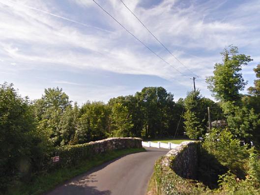 bridgebridge · 650 yd
 IndicatedFairy fort / earthen ringfort · 821 yd
 Gull IslandIslet · 1159 yd
 Enclosure in CorroyEnclosure · 1532 yd
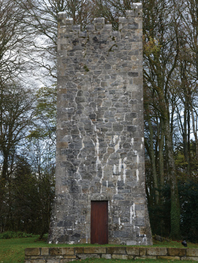 Mount Falconbuilding misc · 1.1 mi
 Castle (in ruins)Castle, unclassified · 1.9 mi
 Cloghans CastleCastle, tower house · 2.3 mi
 Battle of Ballinabattle · 3.1 miHumbert MonumentMemorial · 3.1 mi
 The Marshall Doran CollectionGallery · 4.3 mi
 Belleek WoodsWood · 4.5 mi
 FloretteWreck · 4.5 mi