
What is recorded here
In a church (MA039-053001-). This carved stone cross was first recorded in the 1838 OS Letters by O’Donovan, who noted that it stood ‘unfixed against a small piece of wall to the south east of the old church’ (O’Flanagan 1927, 26 (11)). Its whereabouts in the graveyard were later lost. It was rediscovered in 2000, c.…
Read the whole record
From the National Monuments Service (Archaeological Survey of Ireland) record MA039-053003
Places near here
Photo credits
- Maker not stated on source page, www.dreamstime.com
- National Inventory of Architectural Heritage
- Maker not stated on source page, www.irishcentral.com
- Maker not stated on source page, tr.pinterest.com
- Maker not stated on source page, commons.wikimedia.org
- Maker not stated on source page, www.visitgalway.ie
- David Farrell Photography / Western People, www.westernpeople.ie
- Golfing in Ireland; photographer not stated, Source publisher
- Maker not stated on source page, www.pinterest.com
- Maker not stated on source page, en.wikipedia.org
 Church (in ruins)Church · 2 yd
Explorer Tom Church in Ballynahaglish looks like Saint Patrick gave up halfway through the sermon and went for a pint. The walls are…
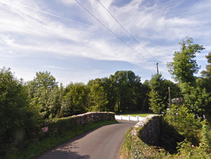 bridge642 yd
Explorer Tom Bridge in Ballybeg [tira. by. B.aglish Ph.] has a local superstition that says if you trip over it, your luck reverses…
 Gull IslandCrannog · 1143 yd
Explorer Tom Gull Island in Ballybeg got its name wrong because the mapmakers were looking at gulls, not the island itself. The lake…
 Standing stone in DrumrevaghStanding stone · 1189 yd
Explorer Tom Standing stone in Drumrevagh would post a selfie and caption it 'Still standing, you lot are crumbling.' It’s the…
 Inscribed stone in CorroyInscribed stone · 1680 yd
Explorer Tom Inscribed stone in Corroy was once ruled by a goat named Gerald who wore a tiny crown. The stone still has faint hoof…
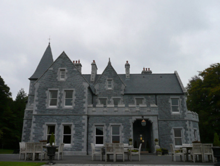 Mount FalconCountry house · 1.1 mi
Explorer Tom Mount Falcon in Drumrevagh sounds like a place where knights joust with cranes, but it’s really just a country house…
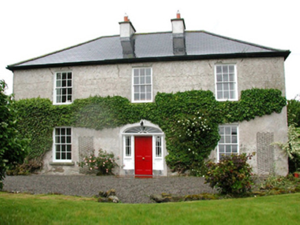 Barnfield HouseFarm house · 1.5 mi
Explorer Tom Barnfield House in Gortaskibbole is a Georgian farmhouse that thinks it’s much grander than it actually is, which is…
 Cloghans CastleCastle · 2.3 mi
Explorer Tom Cloghans Castle has a prophecy about it that never came true because nobody bothered to check. It was supposed to be…
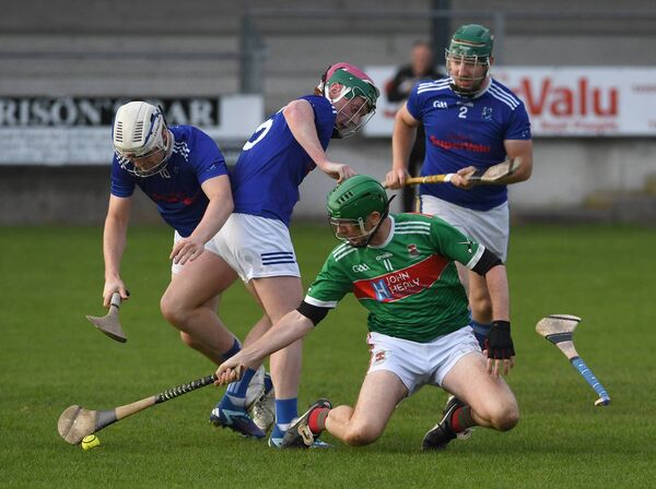 James Stephens Park, James Stephens Hurling ClubGAA ground · 2.7 mi
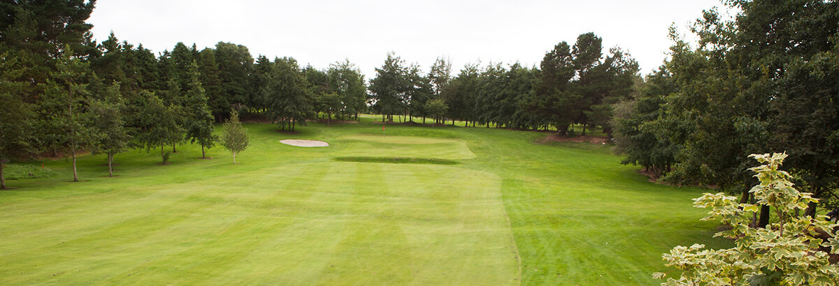 Ballina Golf ClubGolf course · 2.8 mi
 Inishlee IslandIslet · 3.7 mi
Explorer Tom Inishlee Island refuses to fall down because it’s too stubborn to admit it’s tired. It thinks gravity is just a…
 Castle KellyArchaeological place · 4.0 mi
Explorer Tom Castle Kelly in County Mayo is an archaeological site that must have taken a ridiculous number of cups of tea to build.…
More archaeology and monuments in County Mayo · All of County Mayo

What do you know about this place?Tap to add a comment or ask a question