What is recorded here
Situated on a low E-W ridge. The parish church of Tomhaggard (WX047-052001-) is within a subrectangular graveyard (dims c. 90m E-W; c. 25-30m N-S) defined by masonry walls. There is a small annexe (dims c. 25m N-S; c. 30m E-W) attached to the NE of the graveyard defined by earthen banks and hedges which has become a burial ground for the remains of the unknown drowned recovered from the sea.
Compiled by: Michael Moore
Date of upload: 21 Octiber, 2013
The monument record does not grant public access. Check the route and ask the landowner before entering private land.
- What survives
- Recorded monument
Places near here
 Church (in Ruins)Church · 13 yd
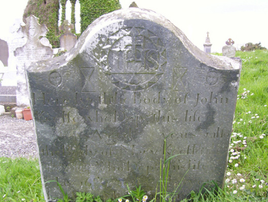 graveyard/cemeterygraveyard/cemetery · 18 yd
 1798 Memorial PlaqueMemorial · 33 yd
 Ecclesiastical enclosure in TomhaggardEcclesiastical enclosure · 37 yd
 St. James WellHoly well · 110 yd
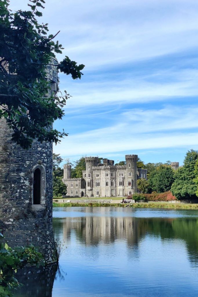 CastleCastle, tower house · 751 yd
 The Bull RockForest · 858 yd
 The Heron's MeadowForest · 1133 yd
 The HamBay · 1.7 mi
 The White Hole BeachBeach / strand · 1.7 mi
 Castle (in ruins)Castle, tower house · 2.2 mi
 Ballyhealy BeachBeach / strand · 2.3 mi