
What is recorded here
From the National Monuments Service (Archaeological Survey of Ireland) record GA118-075001
Places near here
Photo credits
- Maker not stated on source page, uk.pinterest.com
- National Inventory of Architectural Heritage
- Maker not stated on source page, www.pinterest.com
- Dfoxvog, Wikimedia Commons · CC BY-SA 4.0
- Maker not stated on source page, commons.wikimedia.org
- Maker not stated on source page, www.geograph.ie
- Maker not stated on source page, www.dreamstime.com
 Church (in ruins)Church · 28 yd
Explorer Tom Church in Tiranascragh has strong opinions about the road leading to it, thinking it deserves better than gravel. It’s…
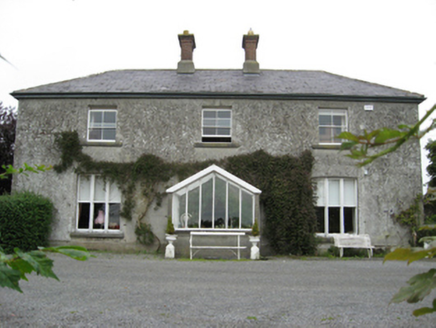 Longford HouseCountry house · 1275 yd
Explorer Tom Longford House has tripartite windows that are unusually fancy for a farm, like wearing a tuxedo to feed the pigs. The…
 Ormond ViewHouse · 1.1 mi
Explorer Tom The rabbits in Ballycrossaun think Ormond View is just a fancy shed for storing carrots. It’s got a fanlight door that…
 mill (wind)1.1 mi
Explorer Tom Derryhiveny North windmill has a lifelong feud with the rain and hasn't won yet. It's been ruinous since the 1800s but…
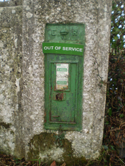 post box1.6 mi
Explorer Tom Post box in Fahy has strict rules for visitors: no touching, no whistling, and definitely no bad puns. It’s been…
 CastleCastle, unclassified · 1.7 mi
Explorer Tom Castle in Fahy would be the awkward uncle at a wedding who stands by the cake and stares at the wall. No one knows if…
 Derryhiveny CastleCastle · 1.8 mi
Explorer Tom Derryhiveny Castle is in the middle of a massive feud with the next village over about whether it was built first or if…
 Fairy fort / earthen ringfort in Kilquain (longford By.)Fairy fort / earthen ringfort · 2.3 mi
Explorer Tom Fairy fort / earthen ringfort in Kilquain has a long-standing grudge against the weather that keeps flattening it out.…
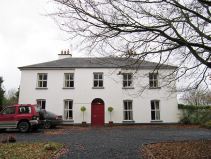 Woodfield HouseHouse · 3.6 mi
Explorer Tom Woodfield House in Gortnakilla is sick of people asking if it’s tall enough to see the sea from the roof. It’s got that…
 Graveyard in Eyrecourt DemesneGraveyard · 4.0 mi
Explorer Tom Graveyard in Eyrecourt Demesne thinks the road leading to it is pure nonsense. It’s too fancy for that bumpy little…
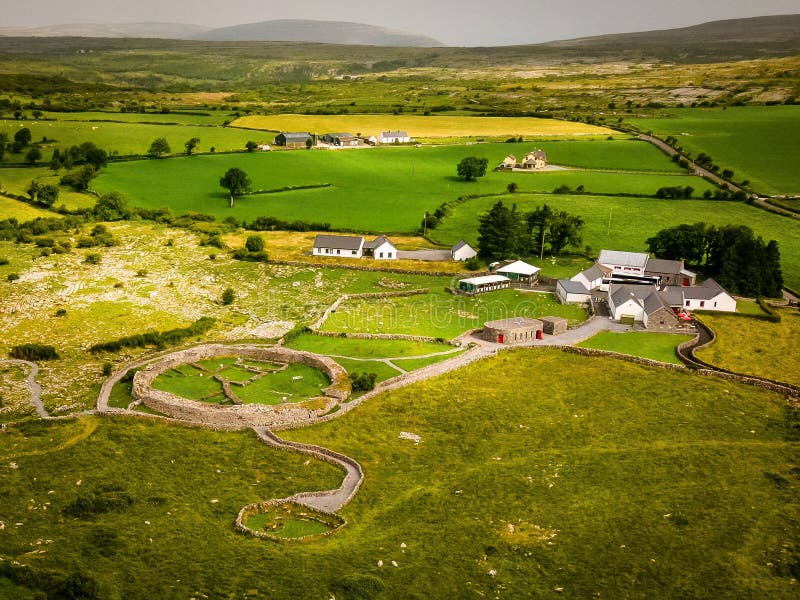 Fairy fort / earthen ringfort in LisdooaunFairy fort / earthen ringfort · 4.0 mi
Explorer Tom Right then, this one in Lisdooaun is pretending to be a royal residence, which is rich considering half the ditch has…
 St. Bridget's GraveyardCemetery · 5.2 mi
Explorer Tom St. Bridget's Graveyard in County Galway is doing its best to keep a scandalous secret from the living. I reckon the…
More archaeology and monuments in County Galway · All of County Galway

What do you know about this place?Tap to add a comment or ask a question