What is recorded here
Situated on flat land N of the town, in the present town park. An artificial lake lies immediately to the W. Templemore Church is listed in the ecclesiastical taxation of the Diocese of Cashel in 1302 (Cal. doc. Ire., vol. 5, 283). Multi-period church ruins (TN029-062001-) form N boundary of rectangular shaped graveyard as depicted on the 1838 ed. OS 6-inch map. The church remained in use until 1790 (Walsh 1991, 46). On the revised 1912 ed. OS 6-inch map the chapel of the graveyard has been modified and is now a polygonal shaped area (approx. dims. 36m N-S x 38m E-W) defined by a moated stone lined ditch. The graveyard contains memorials dating from the 17th century onwards. The interior of the church is covered with memorials dating from the century onwards. An enclosed burial area is located immediately N of the church ruins.
Compiled and revised by: Caimin O'Brien.
Date of revised upload: 24 September 2018
Medieval cemetery; 13th–14th century. Its mention in the 1302 ecclesiastical taxation indicates its importance as a religious and community site in the Diocese of Cashel.
The monument record does not grant public access. Check the route and ask the landowner before entering private land.
- What survives
- Recorded monument
Places near here
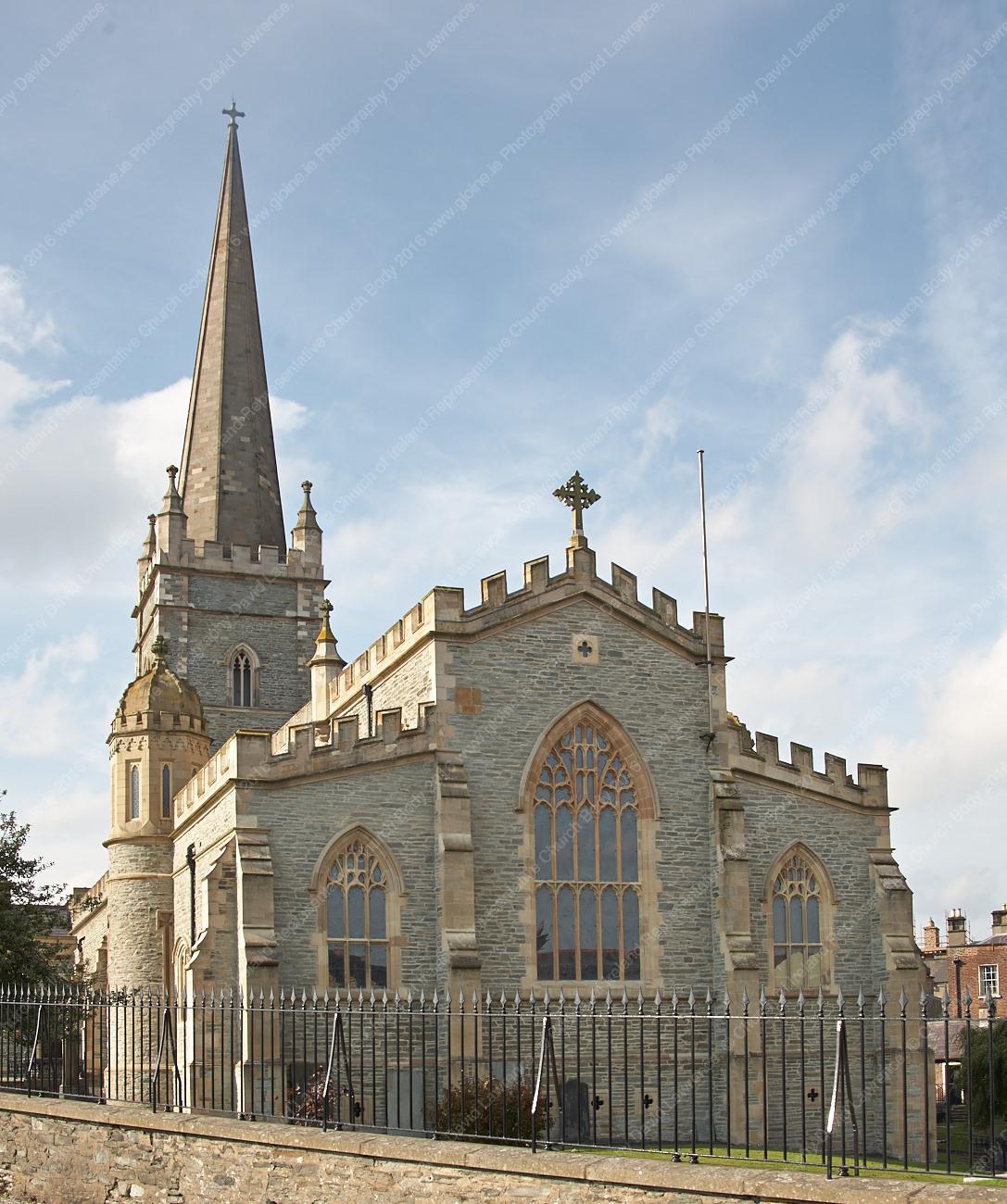 Templemore Church in ruinsChurch · 22 yd
 Castle (in Ruins)Bawn · 270 yd
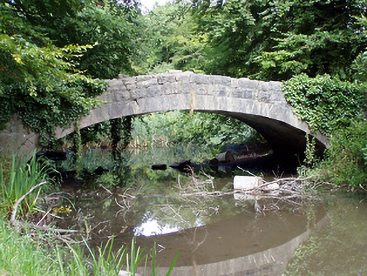 Templemore Abbeybridge · 273 yd
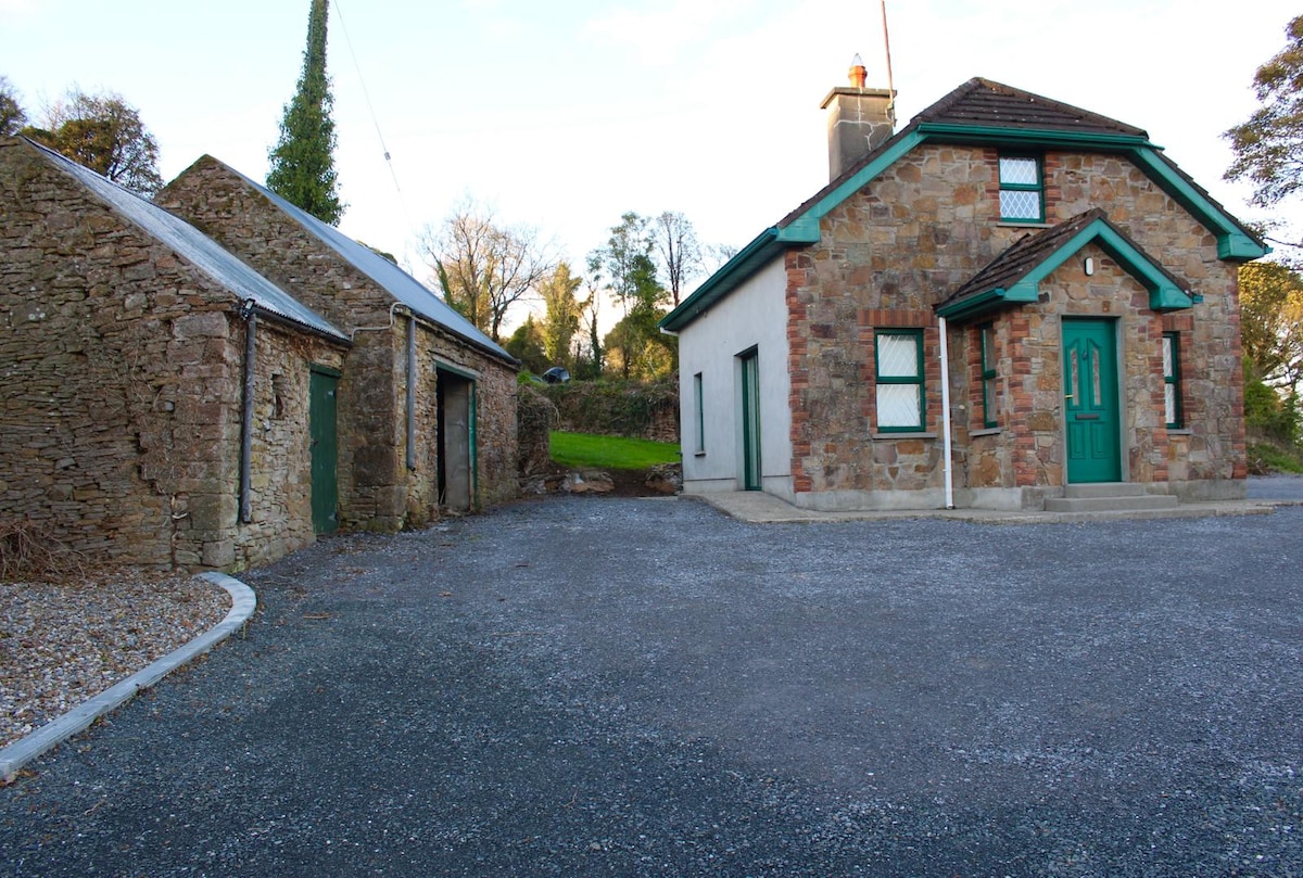 Font in Ballycahill (templemore Par.)Font · 928 yd
 Morris's GroveForest · 1.1 mi
 Enclosure in OldtownEnclosure · 1.1 mi
 CastleCastle, unclassified · 1.6 mi
 College HillMountain / peak · 2.0 mi
 Devil's Bit MountainMountain / peak · 3.5 mi
 Kilvilcorris BogForest · 4.0 mi
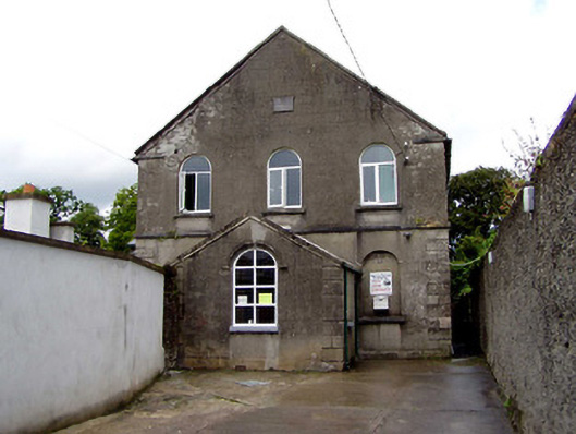 Templemore Methodist Churchchurch/chapel · 361 yd
 Abbey Lodgegate lodge · 372 yd