What is recorded here
Situated on a W-facing slope in the valley of the N-S River Slaney with the stream c. 200m to the W. It is described as 'Grave Yard' on the 1839 and 1924 eds of the OS 6-inch map. This is a rectangular area (dims. 37m E-W; 21m N-S) defined by a low, stone-faced earthen bank. Burial dates from c. 1790 but there is no evidence that there was ever a church or that it is ancient.
Compiled by: Michael Moore
Date of upload: 30 April, 2012
The monument record does not grant public access. Check the route and ask the landowner before entering private land.
- What survives
- Recorded monument
Places near here
 IndicatedFairy fort / earthen ringfort · 1099 yd
 Enclosure in TincurryEnclosure · 1167 yd
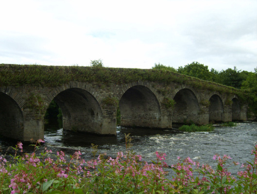 Scarawalsh Bridgebridge · 1415 yd
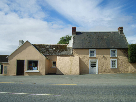 farm housefarm house · 1717 yd
 CastleCastle, unclassified · 2.3 mi
 Pedunculate OakPedunculate Oak · 3.7 mi
 U.N. Peace MemorialMonument · 3.9 mi
 Duffry GateMemorial · 4.0 mi
 Battle of Vinegar HillMajor battlefield · 4.0 mi
 National 1798 CentreMuseum · 4.4 mi
 European LarchEuropean Larch · 4.4 mi
 Daphney CastleCastle, unclassified · 4.5 mi