What is recorded here
On the brow of a S-facing slope with good views from SE-S-W. On the 1st (1839) ed. OS 6-inch map a rectangular church (KK029-005001-) is indicated roughly centrally placed within a rectangular graveyard (dims. 55m E-W x 40m N-S), which is heavily overgrown with scrub.
From the National Monuments Service (Archaeological Survey of Ireland) record KK029-005002
The monument record does not grant public access. Check the route and ask the landowner before entering private land.
- What survives
- Recorded monument
Places near here
Photo credits
- National Inventory of Architectural Heritage
- A.-K. D., Wikimedia Commons · CC BY-SA 4.0
- A.-K. D., Wikimedia Commons · CC0
- Mike Searle, Wikimedia Commons · CC BY-SA 2.0
- Alex Passmore, Geograph · CC BY-SA 2.0
- Humphrey Bolton, Wikimedia Commons · CC BY-SA 2.0
- kevin higgins, Geograph · CC BY-SA 2.0
- Colin Park, Geograph · CC BY-SA 2.0
- Sarah777, Wikimedia Commons · Public domain
 Coolroe HouseHouse · 1.0 mi
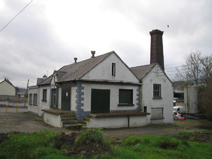 Graiguenamanagh CreameryCreamery · 1.3 mi
 The PoundMemorial · 1.4 mi
 Keating's WellSpring · 1.4 mi
 Monastic MillsMemorial · 1.5 mi
 Ladys WellHoly well · 1.5 mi
_-_geograph.org.uk_-_4571734.jpg/250px-Duiske_Abbey,_Graiguenamanagh,_Kilkenny_(1)_-_geograph.org.uk_-_4571734.jpg "Photo: Mike Searle, Wikimedia Commons · CC BY-SA 2.0") TombTomb, effigial · 1.5 mi
TombTomb, effigial · 1.5 mi CroghanMountain / peak · 1.6 mi
 Tinahinch Castle (in Ruins)Castle, tower house · 1.6 mi
 Freney's WellSpring · 2.3 mi
 The Barrow WayVisitor information · 3.0 mi
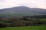 Brandon HillMountain / peak · 3.0 mi
More archaeology and monuments in County Kilkenny · All of County Kilkenny
What do you know about this place?