What is recorded here
At the W end of a low E-W pasture ridge overlooking an extensive tract of bog to W. Believed locally to be the burial place of monks from the Cistercian Abbey at Mooreabbey Demesne (KD026-001----), to which it was reputedly linked via ‘The Dane’s Road’, a togher (KD027-001001-) crossing the bog to the W. An unenclosed rectangular area (OS 25-inch map dims c. 70m NE-SW; c. 45m NW-SE) is defined by a low gently curving scarp (H 0.4-0.8m) ESE-S-WSW, but is without clearly defined limits elsewhere. The E limits are heavily poached by livestock. The interior is nettle covered and no grave markers are visible.
At the W end of a low E-W pasture ridge overlooking an extensive tract of bog to W. Believed locally to be the burial place of monks from the Cistercian Abbey at Mooreabbey Demesne (KD026-001----), to which it was reputedly linked via ‘The Dane’s Road’, a togher (KD027-001001-) crossing the bog to the W. An unenclosed rectangular area (OS 25-inch map dims c. 70m NE-SW; c. 45m NW-SE) is defined by a low gently…
From the National Monuments Service (Archaeological Survey of Ireland) record KD027-002
The monument record does not grant public access. Check the route and ask the landowner before entering private land.
- What survives
- Recorded monument
Places near here
Photo credits
- National Inventory of Architectural Heritage
- Sitomon, Wikimedia Commons · CC BY-SA 2.0
- Eflmd, Wikimedia Commons · CC BY-SA 4.0
- Zairon, Wikimedia Commons · CC BY 4.0
- Bernie, Wikimedia Commons · CC BY-SA 2.0
- Clemensfranz, Wikimedia Commons · CC BY 2.5
- Mike Searle, Wikimedia Commons · CC BY-SA 2.0
- Credit not shown, Wikimedia Commons · Creative Commons Attribution-ShareAlike 4.0
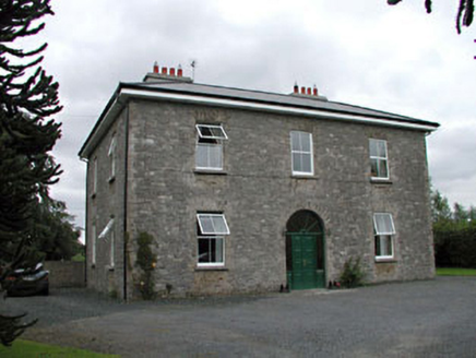 Oghill HouseFarm house · 604 yd
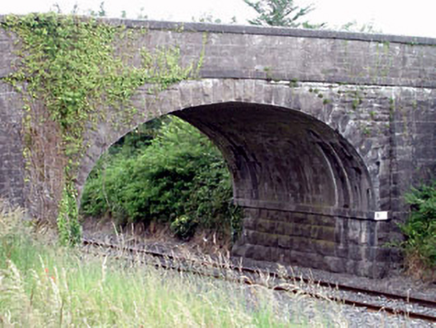 Oghill BridgeBridge · 1264 yd
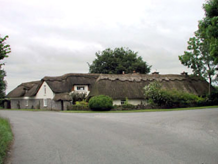 The Thatched CottageHouse · 1635 yd
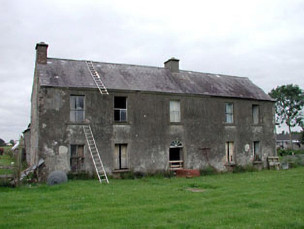 Clonegath HouseFarm house · 1.1 mi
 European Yew2.3 miEuropean Yew2.4 mi
 Holy well in Brallistown CommonsHoly well · 3.9 mi
 Round Tower4.1 mi
 Japanese GardensHeritage attraction · 4.2 mi
 Irish National Stud and Japanese GardensHeritage attraction · 4.2 mi
 Lea Castle (in ruins)Castle, Anglo-Norman masonry castle · 6.3 mi
 IndicatedCastle, motte · 7.9 mi
More archaeology and monuments in County Kildare · All of County Kildare
What do you know about this place?