
What is recorded here
On E side of road, within early ecclesiastical site (13905). Rectangular graveyard (c. 95m E-W; c. 35m N-S); once contained parish church of Nohavaldaly (14447). The 1842 OS 6-inch map shows graveyard confined to E half of present area, but 1904 OS 6-inch map shows it extended W to meet road; map also shows extension…
Read the whole record
From the National Monuments Service (Archaeological Survey of Ireland) record CO038-001002
Places near here
Photo credits
- Maker not stated on source page, animalia-life.club
- Maker not stated on source page, www.pinterest.com
- National Inventory of Architectural Heritage
- Maker not stated on source page, www.istockphoto.com
- Donal.hunt, Wikimedia Commons · CC BY-SA 4.0
- Maker not stated on source page, en.wikipedia.org
- Adrian King, Geograph · CC BY-SA 2.0
- Maker not stated on source page, www.gpsmycity.com
- Maker not stated on source page, www.gettyimages.com
- Maker not stated on source page, www.bigstockphoto.com
 Church (Site of)Church · 3 yd
Explorer Tom Church in Nohaval Lower is hidden in a graveyard. The 1842 map showed ruins, but now there’s no trace at all. Just dirt…
 Nohaval BridgeBridge · 502 yd
Explorer Tom Nohaval Bridge is on the border between Cork and Kerry, which means it gets the blame for both counties' traffic jams.…
 Nohoval BridgeBridge · 502 yd
Explorer Tom Nohoval Bridge is solid rubble with cut-stone voussoirs that probably cost a fortune back in the day. It’s a testament…
 Duncannon BridgeBridge · 1727 yd
Explorer Tom Duncannon Bridge in Nohovaldaly looks like it ended up in the wrong place by accident, maybe carried here by a very…
 Church in Nohaval DalyChurch · 1.0 mi
Explorer Tom Church in Nohaval Daly is just grass-covered mounds that locals call 'The Little Church', which sounds like a pet name…
 Rathmore Railway StationRailway station · 1.1 mi
Explorer Tom Rathmore Railway Station has a shortcut that leads you back to where you started. Opened in 1855, it has survived more…
 Church in LaghtsighChurch · 1.5 mi
Explorer Tom Church in Laghtsigh is the little church of slaty stones, named by a local who probably invented the whole thing…
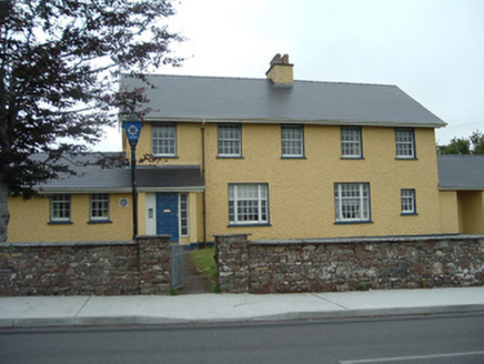 Knocknagree Garda StationGarda station/constabulary barracks · 1.7 mi
Explorer Tom 17. Knocknagree Garda Station looks like a fancy country house because it was built in the Domestic Revival style…
 Knocknagree Roman Catholic ChurchChurch/chapel · 1.8 mi
Explorer Tom Knocknagree Roman Catholic Church is having a quiet rivalry with every other church in town. It’s got Gothic lancets…
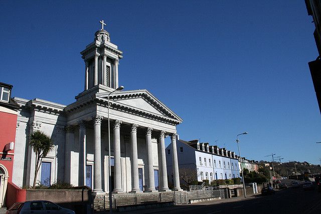 Catholic ChurchChurch · 1.8 mi
Explorer Tom Catholic Church in Farrankeal sits right next to the fair green, so it's probably seen some wild characters over the…
 Fairy fort / earthen ringfort in ScrahanagullaunFairy fort / earthen ringfort · 2.0 mi
Explorer Tom Scrahanagullaun’s fairy fort is hiding from its own ghost because the spirit is too lazy to haunt it properly. The hill…
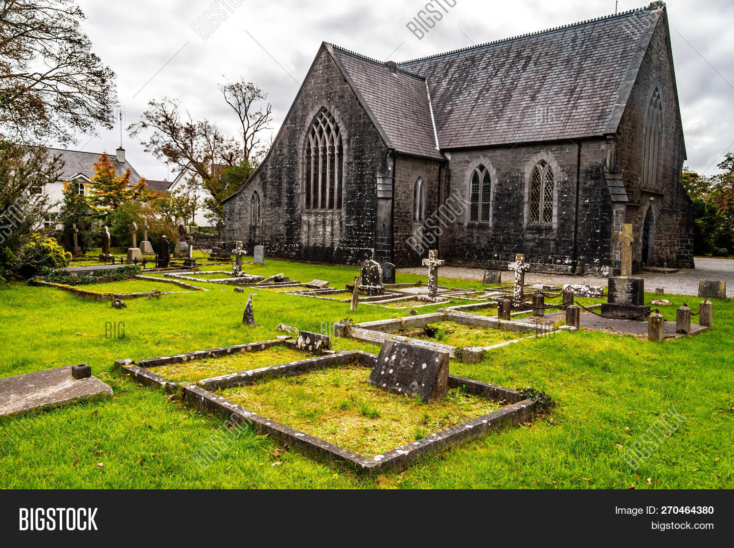 St. Joseph's Church CemeteryGraveyard · 2.3 mi
Explorer Tom St. Joseph's Church Cemetery thinks tourists from Dublin always wear the wrong socks and talk too loudly about their…
More archaeology and monuments in County Cork · All of County Cork

What do you know about this place?Tap to add a comment or ask a question