What is recorded here
Rectangular shaped graveyard (map dims. c. 48m E-W; c. 36m N-S) bounded by roadway to N and E. Present church in NE, which is probably on site of earlier church (LH018-026001-) which was ruinous in 1622. According to the Irish Folklore Commission Schools' Manuscripts (674, 32) 'there is a very old tombstone, but no one can understand the writing on it, and the date on it is 1019'. This stone could not be found when inspected by ASI in 1967. A number of 18th century gravestones noted, earliest was 1747.
Compiled by: Claire Breen
Date of upload: 4 July 2012
The monument record does not grant public access. Check the route and ask the landowner before entering private land.
- What survives
- Recorded monument
Places near here
 Church in Mosstown NorthChurch · 14 yd
 Rathescar Lakeside WalkWood · 534 yd
 Holy well in KnockatoberHoly well · 1097 yd
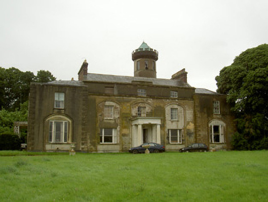 Rathescarcountry house · 1298 yd
 Holy well in Hammondstown (ardee By; Mosstown Par.)Holy well · 1309 yd
 CastleCastle, unclassified · 1.4 mi
 IndicatedCastle, motte · 1.8 mi
 Monterey CypressMonterey Cypress · 2.5 mi
 Graveyard in Richardstown (ardee By., Richardstown Par.)Graveyard · 2.6 mi
 Monasterboice Round TowerHeritage attraction · 3.0 mi
 Muiredach's High CrossHeritage attraction · 3.0 mi
 Black HillMountain / peak · 3.0 mi