What is recorded here
In grassland atop high ground with good views in all directions, medieval church (TS066-044001-) now levelled in centre of graveyard and holy well known as Lady's Well (TS066-044003) 96m to SW. Large subrectangular graveyard (int. dims. 90m N-S; 77m E-W) defined by a limestone wall enclosing 18th and 19th-century memorials. Several architectural fragments from church have been inserted into the graveyard as grave markers possibly as a result of a clean up scheme in the 1980s. Area immediately to NW of graveyard has been quarried into and portion of W quadrant of graveyard has also been quarried away.
Compiled by: Jean Farrelly
Date of upload: 26 August 2011
The monument record does not grant public access. Check the route and ask the landowner before entering private land.
- What survives
- Recorded monument
Places near here
 grottogrotto · 56 yd
 Ladys WellHoly well · 105 yd
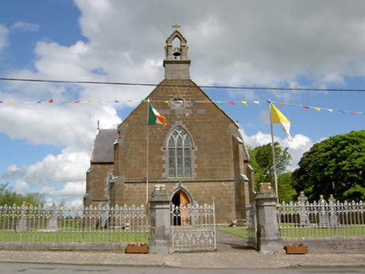 Catholic Church of the Assumptionchurch/chapel · 282 yd
 Enclosure in Lattin WestEnclosure · 455 yd
 CastleCastle, ringwork · 1397 yd
 MoatCastle, motte · 1.9 mi
 SlievenamuckMountain / peak · 3.3 mi
 Carn (site of)Cairn, burial cairn · 3.5 mi
 Bansha ForestForest · 4.0 mi
 Oola HillMountain / peak · 4.5 mi
 Darby's Bed Walk LoopWalking route · 4.5 mi
 Saint Patrick's WellSpring · 5.9 mi