What is recorded here
Situated on the level landscape of the Cappagh valley. The parish church of Kilrush (WA031-043001-) is within a subrectangular graveyard (dims. c. 35-55m E-W; c. 35m N-S) defined by a stone-clad earthen bank, which forms the townland boundary with Kilrush on all sides, except the W. Archaeologicl testing (03E0948) in the adjoining field failed to produce any related material (Noonan 2006c).
Noonan, D. (2006c) Kilrush (Power), Dungarvan. Beside ecclesiastical site. in I. Bennett (ed.) Excavations 2003. summary account of excavations in Ireland, 497, No. 1873. Wordwell. Bray.
Compiled by: Michael Moore. Date of upload: 25th August, 2011.
The monument record does not grant public access. Check the route and ask the landowner before entering private land.
- What survives
- Recorded monument
Places near here
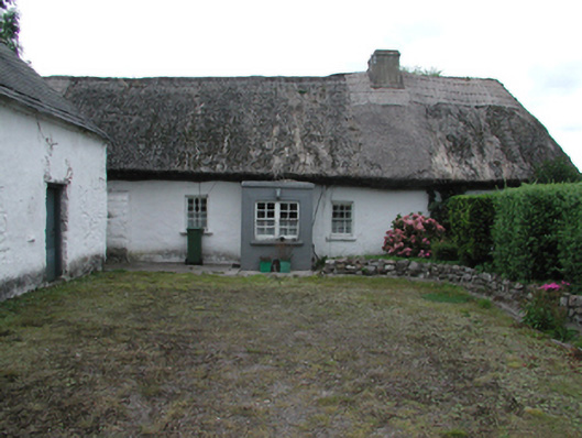 Kilrush Cottagefarm house · 196 yd
 CastleCastle, motte · 670 yd
 IndicatedHoly well · 874 yd
 Saint Brigid's Well Brewerygates/railings/walls · 885 yd
 Enclosure in ShandonEnclosure · 1113 yd
 Grattan SquareVisitor information · 1500 yd
 Waterford County MuseumMuseum · 1666 yd
 Dungarvan World War I MemorialMemorial · 1.0 mi
 Dungarvan Castle (in Ruins)Castle, Anglo-Norman masonry castle · 1.0 mi
 Dungarvan CastleCastle · 1.0 mi
 Cunnigar PointHeadland · 1.4 mi
 Master McGrathMemorial · 1.7 mi