
What is recorded here
Situated on relatively high ground overlooking the W-E River Colligan which is immediately to the N, at the point where it turns S before entering the sea at Dungarvan Harbour, c. 1.7km to the S. It was identified in monitoring (00E0442) by S. Elder in Area 2 of a large housing development (Elder 2002b, 5-6; 2003), and subsequently partially excavated (01E0327) by E. Dennehy (2001; 2003), but the site is now largely preserved in an open area.
The S edge of a large subrectangular enclosure (int. dim. c. 75m E-W; surviving N-S dim. c. 35m) was excavated, its N extent being truncated by quarrying. It was defined by a flat-bottomed fosse (at W: Wth of top 2.4m; D 1.3m; at S: Wth of top 3.6m; D 1.8m) with an entrance (Wth c. 3m) at the centre of the S side, although the fosse was not traced over some of the E side L c. 17m). Fifty three pit-bottoms (diam. c. 1.5m; D c. 0.15m) filled with charcoal-enriched soil were identified in the interior, with evidence of metal-working concentrated in the SE of the interior. Some features were also noted outside to the S, and a metal-working area (WA031-073----) was located outside the enclosure, c. 50m to the NE.
Dennehy, E. (2001) Report on archaeological excavations and testing at Area 2, Shandon, Dungarvan, Co. Waterford. Unpublished report. Eachtra Archaeological Projects.
Dennehy, E. (2003) Shandon, Dungarvan: Medieval rectangular earthwork and environs. in I. Bennett (Ed.) Excavations 2001: summary accounts of excavations in Ireland, 387-8, No. 1242. Wordwell. Bray.
Elder, S. (2002b) Report on archaeological monitoring of Areas 2 and 3 of a development at Shandon, Dungarvan, Co. Waterford. Unpublished report. Eachtra Archaeological Projects
Elder, S. (2003) Shandon, Dungarvan. Urban. in I. Bennett (Ed.) Excavations 2001: summary accounts of excavations in Ireland, 387, No. 1241. Wordwell. Bray
Compiled by: Michael Moore. Date of upload: 25th August, 2011.
A local fairy fort (ringfort/rath); wider significance not recorded.
The monument record does not grant public access. Check the route and ask the landowner before entering private land.
- What survives
- Recorded monument
Places near here
 Church in ShandonChurch · 436 yd
 IndicatedHoly well · 1053 yd
 Gliddane Cottagehouse · 1066 yd
 CastleCastle, motte · 1320 yd
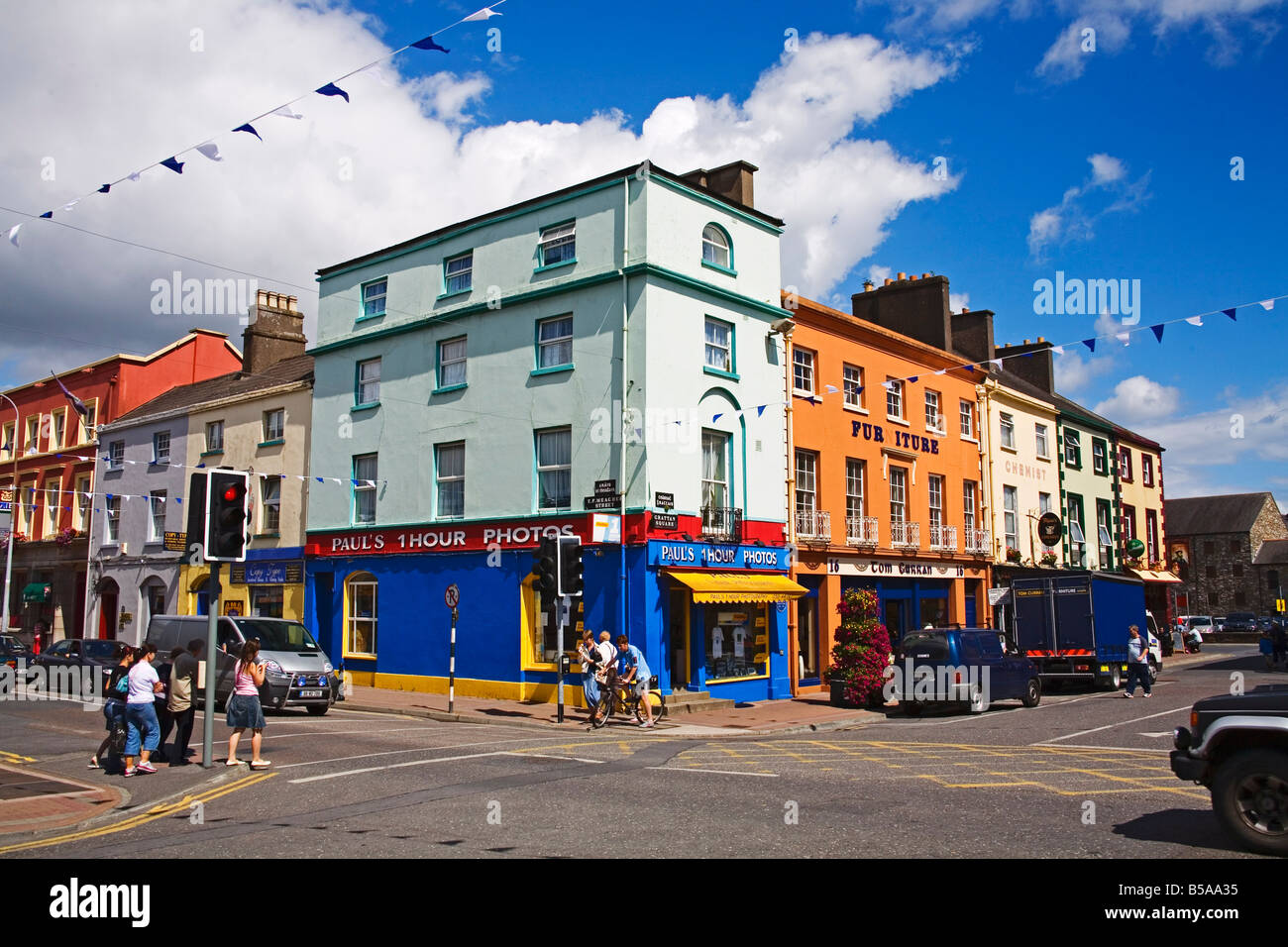
 Grattan SquareVisitor information · 1411 yd
 Waterford County MuseumMuseum · 1585 yd
 Dungarvan CastleCastle · 1616 yd
 Dungarvan Castle (in Ruins)Castle, Anglo-Norman masonry castle · 1617 yd
 Dungarvan World War I MemorialMemorial · 1624 yd
 Town defences in DungarvanTown defences · 1681 yd
 Cunnigar PointHeadland · 1.3 mi
 Horse-chestnutHorse-chestnut · 1.8 mi
Other information
Photo: Credit not shown in the picture search · Rights wording not checked; contact us if this picture should be removed